







A winter storm threatens the north as Florida faces strong winds and coastal flooding
The National Weather Service is warning of snowfall in the Rocky Mountains and the Great Plains, storms in the central and southern parts of the country, and hazardous conditions along the Florida coast. The precipitation could continue through the middle of the week.
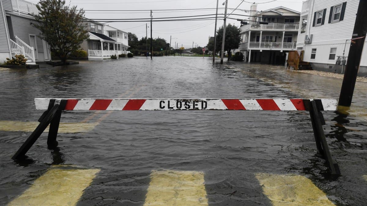
Flooding in the U.S. Following Heavy Rains (File Photo)
The United States is starting this Monday with a weather outlook marked by the advance of a storm system that threatens to bring the first significant snowfall of the season to several regions in the northern part of the country, while Florida faces strong winds, dangerous waves, and possible coastal flooding.
According to the updated forecast from the Weather Prediction Center (WPC), published at 3:32 a.m. on October 26, an upper-level trough over the northwestern Pacific will drive a front toward the northern and central Great Plains. The system will bring rain, snow in mountainous areas, and deteriorating weather conditions between Monday and Wednesday.
First snowfall and rain in the north
Snowfall will initially be concentrated in the high elevations of the Cascade Range, the northern Rocky Mountains, and other mountainous regions of the Northwest. Wet snow is also expected wet snow in parts of the Northern Great Plains, with precipitation that could continue through Tuesday night.
The system will be accompanied by rain that will move toward the upper Mississippi Valley over the next few days, which could complicate travel in the affected areas.
The WPC forecasts areas at high risk of significant snow accumulation during the period from October 26 to 28.
Society
'El Niño' climate phenomenon could be especially strong this year, according to experts
Diane Hernández
Storms in Texas and the Central United States
In the south, conditions will also be unstable. The National Weather Service forecasts the development of rain and thunderstorms in parts of the Southern Great Plains, as well as in eastern Texas and areas near the western coast of the Gulf of Mexico.
These rains will be driven by the influx of moist air from the Gulf and could continue through Wednesday.
In Oklahoma, the Norman weather office forecasts rain moving in from the northwest of the state on Monday, spreading eastward overnight into Tuesday.
Florida, Under Threat of Coastal Flooding and High Winds
One of the most critical situations is unfolding in Florida, particularly in Miami-Dade, Broward, and Palm Beach counties, where authorities have issued warnings for high winds and coastal flooding.
The office of the National Weather Service in Miami forecasts gusts of up to 40 miles per hour (64 km/h), with the possibility of falling branches, power outages, and difficult driving conditions.
Wind advisories are in effect from Monday through Tuesday night, while some coastal flood alerts will remain in effect through Wednesday.
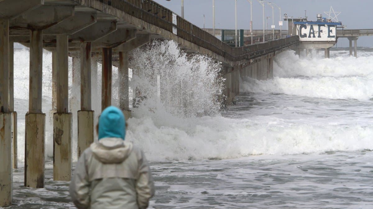
Along the Atlantic coast, waves could reach between 8 and 13 feet (approximately 2.4 and 4 meters) at certain beaches. Authorities are also warning of dangerous rip currents, coastal erosion, and possible flooding of roads, homes, and businesses in low-lying areas.
In east-central Florida, including coastal areas near Cape Canaveral, dangerous conditions for boating and swimming at least through the middle of the week.
What can we expect in the coming days?
The national forecast indicates that unstable conditions will continue through Tuesday and Wednesday, especially in the Great Plains and the Upper Mississippi Valley, while snowfall will persist in parts of the north.
In Florida, strong winds and high waves could continue to pose a risk of coastal flooding over the next few days, although conditions are expected to gradually improve toward the end of the week.
The National Weather Service recommends checking local alerts before traveling, especially in mountainous areas prone to snowfall and in coastal communities under flood warnings.
🛠 Do you think there is an error in this article?
Recommendations








LATEST