







Heavy rain and severe storms will move toward the Great Plains this weekend
By Sunday, the arrival of a high-pressure system following the cold front will cause high temperatures to drop by 20 to 30 degrees Fahrenheit (11 to 17 degrees Celsius) compared to Friday's highs in parts of the northern Great Plains.


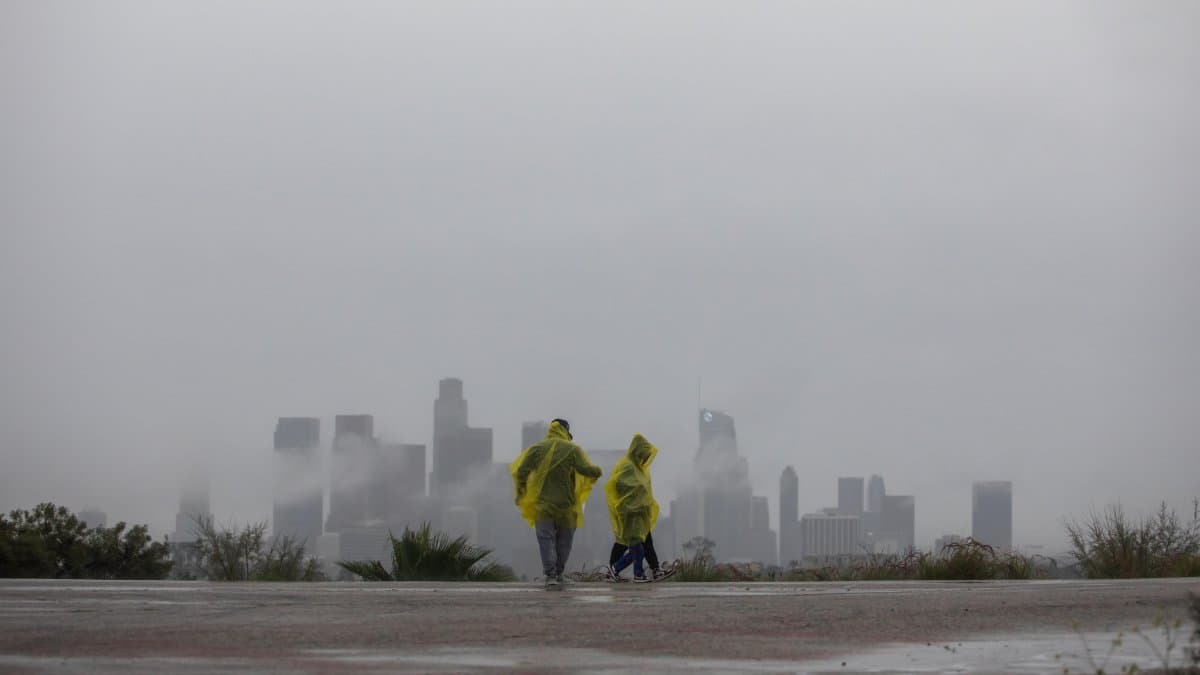
Heavy rains will move toward the southern Great Plains and the central United States over the weekend, while the risk of severe weather persists in New Mexico and western Texas. At the same time, a strong cold front will cause temperatures to drop in parts of the Great Plains and the Midwest, according to the weather forecast valid from Saturday, Oct. 24, through Monday, Oct. 26, 2026.
The weather map shows two frontal systems close to each other over the western and central parts of the country. The first, associated with a cold front originating in the Pacific, currently extends across the Upper Great Plains and the desert Southwest.
As this system moves eastward, the risk of scattered heavy rain and some severe weather will gradually shift toward the southern and central Upper Great Plains over the next two days.
Society
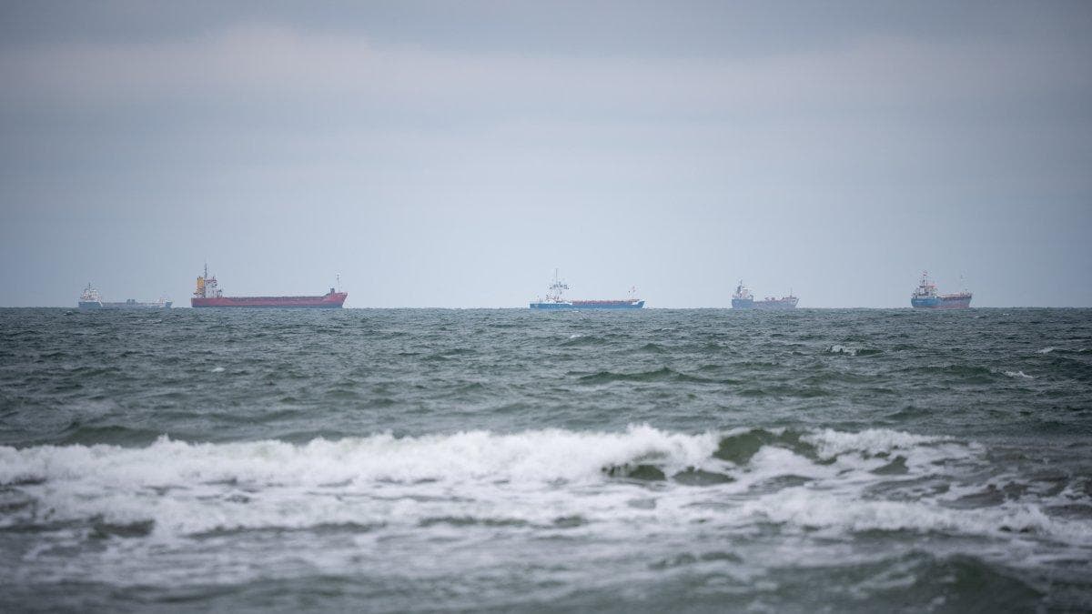
A winter storm is threatening Alaska; the North Carolina coast is under a flood watch
Alejandro Baños
A cold front will cause temperatures to drop
The second system, located over the northern Great Plains, will rapidly intensify as it moves northeast toward Hudson Bay. The associated cold front will extend across the Great Plains and become the dominant system during the second half of the weekend.
Areas in the northern Great Plains will begin to feel its effects this Friday. In addition, some snowfall may occur in central-western Montana.
By Sunday, the arrival of a high-pressure system behind the cold front will bring high temperatures that are 20 to 30 degrees lower than those expected this Friday.
Flood risk on Florida's east coast
This episode will be associated with strong winds coming off the sea, to the north of a stationary front located near the Florida Straits.
The persistence of these conditions could lead to scattered flash flooding in urban areas, low-lying areas and locations with poor drainage systems.
The forecast therefore calls for several weather scenarios for the weekend: heavy rain and severe weather in parts of the Southwest and the Great Plains, a sharp drop in temperatures in northern and central regions of the country and rainfall with a risk of flooding along Florida's east coast.
🛠 Do you think there is an error in this article?
Recommendations








LATEST