







Heavy rain, flooding in California and Southwest, with sharp temperature drop in Central US
A low-pressure system over California is bringing heavy rain and storms to the Southwest, with a high risk of flash flooding. The severe weather will move eastward this weekend, while a cold front will cause a sharp drop in temperatures and possible snowfall in the Rockies.
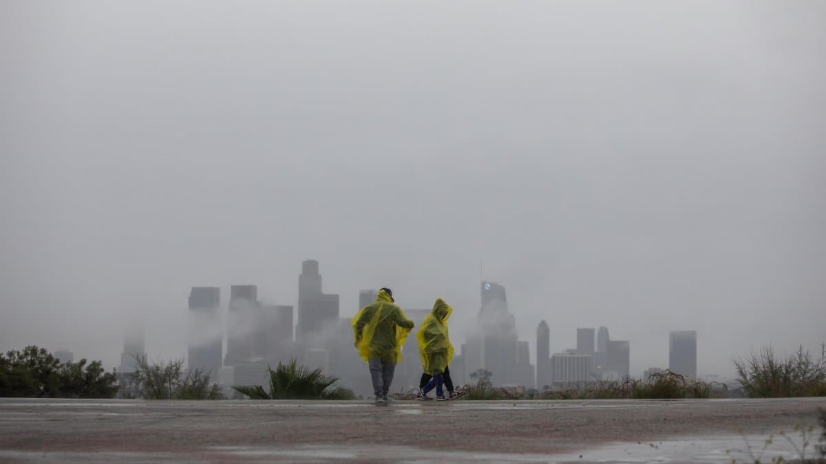

A powerful storm system over California is fueling downpours and storms in the western United States, with a risk of flash flooding in the Southwest and the Four Corners region. The National Weather Service (NWS) forecasts that the severe weather will move toward New Mexico and the southern plains over the next 48 hours, while a cold air mass sets the stage for a significant temperature drop in the central part of the country.
Torrential rains and storms in the West
The upper-level low-pressure system, located over California, is channeling tropical moisture northward ahead of a cold front advancing from the Southwestern desert. This combination is generating bands of rain and thunderstorms from the California coast to Arizona, Utah, the southwestern part of Colorado, and western New Mexico.
The NWS has raised the risk of excessive rainfall to moderate in parts of southwestern Colorado and southern Utah, a warning that indicates a high probability of flash floods. In mountainous and urban areas of California, models predict accumulations of 1 to 2 inches, with the possibility of exceeding 3 inches in specific locations in the San Bernardino Mountains.
The most vulnerable areas are slopes affected by previous wildfires, narrow canyons, dry riverbeds—known as arroyos—and urban centers, where water can pool quickly. During some slow-moving storms, precipitation rates of between 1 and 1.5 inches per hour could be recorded.
The risk is shifting eastward
The threat of heavy rain and severe weather will gradually move eastward along with the cold front. New Mexico and the southern U.S. plains could be affected over the weekend, with the possibility of storms capable of producing gusty winds, hail, and isolated tornadoes.
In Arizona, the risk of severe weather has been particularly significant: the system even triggered a tornado watch in parts of the state, which is unusual for the region at this time of year. Meteorologists emphasize that the above-average humidity—stemming in part from the remnants of Tropical Storm Trudy—is intensifying the system's ability to generate very heavy downpours.
Cold and snow in the Rockies
Meanwhile, a storm is expected to form on the leeward side of the northern Rockies, driven by a trough originating in the North Pacific. Starting Friday afternoon, a strong influx of cold air will cause temperatures to drop in the Northern Rockies and could trigger a transition from rain to snow.
The NWS is maintaining winter weather advisories in that area, where a few centimeters of accumulation are expected. This is not a major snowfall, but it is a sudden change after days of unseasonably mild conditions.
A colder weekend in the Central United States
As the storm intensifies and the cold front moves across the heart of the United States over the weekend, temperatures could drop by 20 to 25 degrees Fahrenheit across large parts of the central United States. The drop will put an end, at least temporarily, to the unseasonal heat wave that had been affecting the region.
What to watch for
🛠 Do you think there is an error in this article?
Recommendations








LATEST