Bertha dissipates after making landfall in Texas, but flood risk and dangerous rip currents along Gulf Coast remains
The second named storm of the Atlantic hurricane season lost its tropical characteristics after making landfall between Texas and Louisiana. Although warnings have been lifted, authorities caution that heavy rain and high waves will continue to affect some areas of the southern United States.
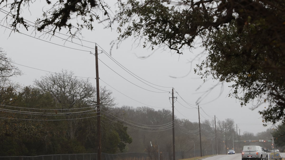
Power lines in Texas after a storm (File photo)

Tropical Storm Bertha dissipated on Thursday night after making landfall on the coast of the Gulf of Mexico, becoming a trough—an elongated area of low pressure without organized circulation—after crossing southeastern Texas, the National Hurricane Center (NHC) reported.
With this development, the U.S. agency issued its final official bulletin on the system and lifted all tropical storm watches and warnings in effect for Texas and Louisiana.
At 11 p.m. EST, the remnants of Bertha were located approximately 40 miles west-northwest of Houston, moving westward at 14 miles per hour. Its maximum sustained winds had decreased to 35 miles per hour, and the minimum central pressure rose to 1008 millibars, clear signs of the system's definitive weakening.
Heavy rains persist over southern Texas
Although Bertha was downgraded from a tropical storm, the NHC warned that its remnants will continue to bring heavy rain over the next few hours to southern Texas.
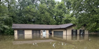
Meteorologists forecast additional rainfall totals of between 1 and 3 inches, with isolated amounts that could reach 4 inches—enough to cause flash flooding, especially in urban areas and areas with poor drainage.
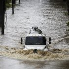
Authorities remain on alert because the downpour can cause flooding on streets, in underpasses and in small waterways, even though the storm has already dissipated.
Dangerous waves and risk of rip currents
The system will also continue to create dangerous conditions along the Gulf Coast.
The National Hurricane Center warned that sea levels will remain temporarily elevated during the next high tide cycle before gradually receding.
In addition, the swells generated by Tropical Storm Bertha will continue to cause potentially deadly rip currents and strong surf along the coasts of Texas and Louisiana, so authorities recommend avoiding entering the water until conditions improve.
Society
Breather for the Atlantic: Forecasters predict calmest hurricane season in 13 years
Diane Hernández
A weak storm, but with widespread impacts
Bertha was the second named storm of the 2026 Atlantic hurricane season.
The system formed over the northern Gulf of Mexico and moved parallel to the coast before making landfall. Although it never reached high intensity, its wide circulation allowed its effects to extend along hundreds of miles of American coastline.
During its path, it produced:
- Tropical storm-force winds
- Heavy rainfall
- Minor coastal flooding
- High waves
- Dangerous conditions on beaches from northwest Florida to Texas
Bertha made landfall twice
The first instance occurred in Louisiana, east of New Orleans. It subsequently made landfall again near the Texas-Louisiana border, approximately 75 miles northeast of Galveston, Texas, before moving definitively inland into Texas.
After that second landfall, the system began a rapid weakening process, first downgrading to a tropical depression and then completely losing its tropical characteristics.
Hurricane season continues
Although Bertha has now dissipated, the Atlantic hurricane season officially continues through Nov. 30, so the National Hurricane Center is maintaining surveillance over the Gulf of Mexico and the tropical Atlantic in anticipation of the possible formation of new systems in the coming weeks.
Bertha arrived just weeks after Tropical Storm Arthur, the season's first named storm, which struck the Gulf Coast in June. Although both systems were relatively weak, they once again highlighted that even low-intensity storms can cause flooding, coastal disruption and significant risks to the population across large areas of the country's southern coastline.
LATEST