Severe storms and the risk of flash flooding threaten several areas of the country
The storms will continue moving Sunday toward the Mississippi and Ohio River valleys, while on Monday a cold front will extend the risk of heavy rain from the Northeast to the Southern Plains.
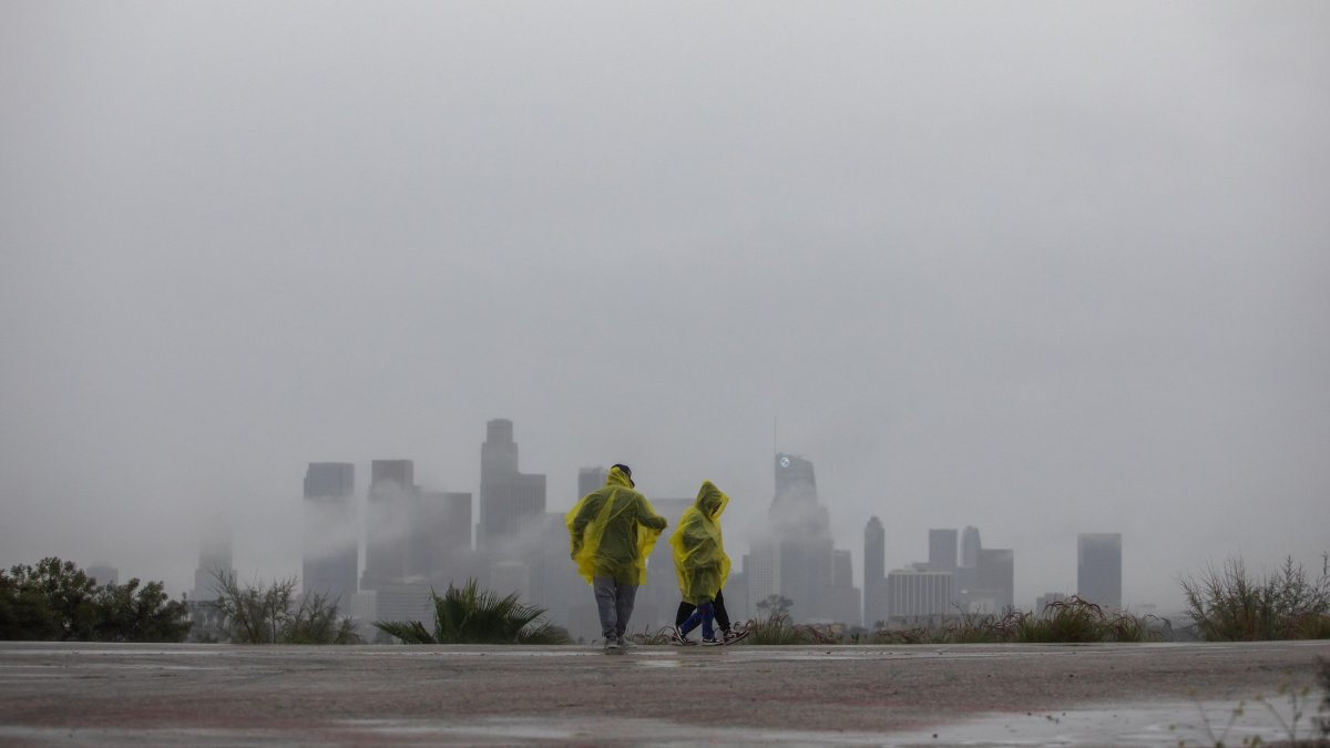
Illustrative image of rainfall

An extensive weather system will keep much of the central and eastern parts of the country under threat through Sunday and into the start of the week, with forecasts of severe storms, flash floods and adverse weather conditions.
The Weather Prediction Center (WPC) reported that the greatest threats will be concentrated in the Plains, the Midwest and the valleys of the Mississippi, Ohio and Tennessee rivers. Authorities are forecasting heavy and prolonged rainfall capable of causing scattered and, in some areas, widespread flash flooding.

The storms will continue moving Sunday toward the Mississippi and Ohio River valleys, while on Monday a cold front will extend the risk of heavy rain from the Northeast to the Southern Plains.
Along the Gulf Coast and in parts of the Southeast, the threat of locally significant flooding also persists due to storms capable of producing heavy rainfall over short periods.
The West faces a different scenario
Meanwhile, hot weather will continue to affect the Southeast and the Southern Plains. Although high temperatures will remain near seasonal norms, high humidity will cause the heat index to far exceed 100 degrees Fahrenheit in many locations. In contrast, the advance of several cold fronts will bring milder temperatures to the Northern Plains, the Midwest and the Northeast, where highs will mostly be around 70 degrees Fahrenheit.
LATEST