NWS forecasts arrival of first winter storm for much of the country
The National Weather Service's Weather Prediction Center forecasts a mix of freezing rain, ice and snow on Monday from the Ozarks and Mid-South into the Ohio Valley. Concurrently, light to moderate snowfall is expected in parts of the Midwest and lower Great Lakes.

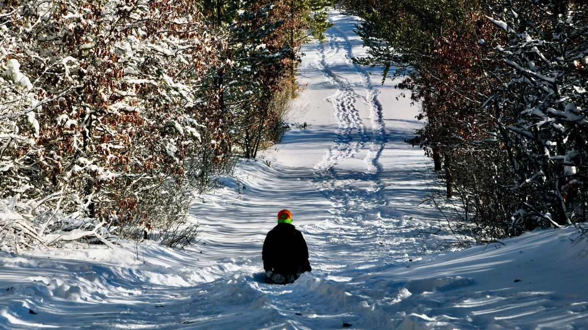
Snow in Wisconsin
The Weather Prediction Center of the National Weather Service reported that a complex winter episode will affect much of the country between Monday and Wednesday, with snow, heavy rain and very cold temperatures.
According to the agency, a mix of freezing rain, ice and snow is expected Monday from the Ozarks and Mid-South to the Ohio Valley. At the same time, areas of the Midwest and lower Great Lakes will record light to moderate snowfall.
Because of the situation, some schools in states such as Michigan have delays in starting classes or were closed, according to 95.3 MNC.
Throughout the day, a broad band of moisture-laden clouds will advance from the Rockies into the Plains and later into the Midwest and Southeast. Near the Gulf Coast, storms and showers are forecast, with a chance of heavy rain and some isolated flash flooding. In colder northern regions, precipitation will fall as snow, making travel even more difficult.
The NWS notes that the first major winter storm of the season will reach New England and the interior Mid-Atlantic between Monday night and Tuesday, with heavy snow and ice accumulation. Although totals have not yet been finalized, exceeding six inches (15 cm) is increasingly likely in areas north and west of the I-95 corridor.
"Temperatures remain well below average"
"Temperatures remain well-below average and very chilly across much of the eastern and central U.S. as this winter-like pattern continues, featuring broad, stagnant upper-toughing and repeated cold frontal passages," the report detailed.


