NWS issues warnings for thunderstorms, snow and fire hazards this week
A cold front will move into the East Coast between Wednesday night and Thursday, allowing for a gradual decrease in thunderstorm activity in most affected areas.
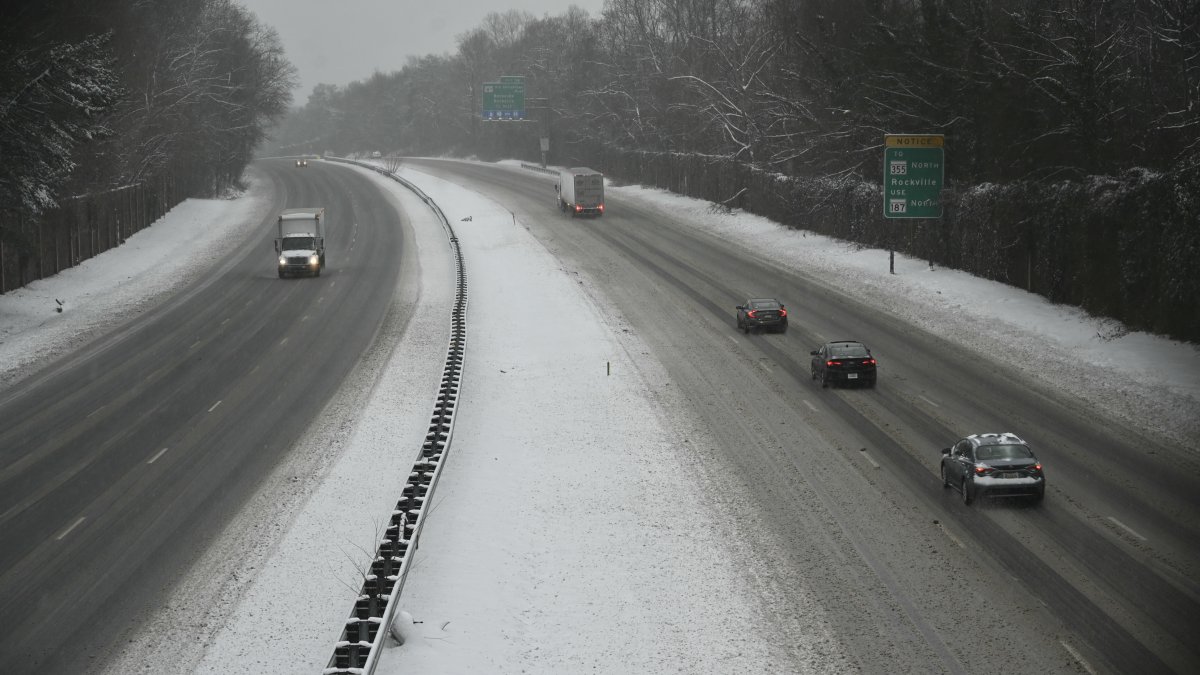
NWS forecasts heavy snowfall beginning Friday.

The National Weather Service (NWS) reported that several regions of the United States will experience a severe weather pattern this week, characterized by intense rain, thunderstorms, snowfall and record-breaking temperature extremes.
Thunderstorms and tornado risk in the Ohio Valley and Atlantic
The service explained that severe showers and thunderstorms are expected this Wednesday, extending from the Ohio Valley and the Mid-Atlantic to the Gulf Coast. The forecast warns of specific hazards in these areas:
Tornado and hail risk: especially dangerous in the Upper Ohio Valley and from eastern Texas to the Lower Mississippi Valley.
Strong winds: gusts capable of causing structural damage.
Local flooding: caused by heavy and persistent rainfall.
A cold front will move into the East Coast between Wednesday night and Thursday, allowing for a gradual decrease in electrical activity in most affected areas.
Snow and ice accumulation: from the Great Lakes to New England
After the passage of the frontal system, wintry conditions will resume the spotlight. Snowfall and ice formation are forecast across a swath from the Great Lakes to northern New England.
Maximum accumulation: The highest snow levels are expected in the Upper Great Lakes and northern Maine.
Light ice: possible presence of ice sheets in Michigan and northern sectors of New England.
New system: between Thursday and Friday, a winter strengthening will bring more snow to upstate New York, accompanied by wind gusts across the Northern Plains.

Society
New wave of tornadoes: Map of states at risk and recommendations for survival
Santiago Ospital
Pacific Northwest Alert and Critical Fire Risk
The wet pattern in the Pacific Northwest and northern Rockies will not only continue, but intensify. Authorities have issued blizzard warnings due to:
- Very heavy snowfall at high elevations (accumulations of several feet).
- Intense winds that reduce visibility.
Parallel to this, in the Central and Southern Plains, the situation is opposite. Warm, dry winds have generated a Critical Fire Risk for this Thursday, raising the alert for emergency services.
Extreme temperatures and record heat in the East and South
Ohio Valley and Northern Mid-Atlantic: Highs of 60 to 70°F.
Southeast and Gulf Coast: Temperatures to reach 80 to 90°F.
However, this "hot summer" will be brief. Thursday's cold front will bring a noticeable drop, returning thermometers to values more in line with the season.
LATEST