







Subtropical storm Josephine hits East Coast as California, Arizona face torrential rain, severe storms
An Atlantic system is causing coastal flooding and erosion along the East Coast, while a storm carrying tropical moisture is moving toward California and the Southwest, bringing the risk of heavy rain, hail, damaging winds, and tornadoes.


An Atlantic system that has become Subtropical Storm Josephine is gradually moving away from the East Coast, though it is still causing some residual impacts. At the same time, a powerful storm linked to tropical moisture continues to affect California and the Southwest, posing a risk of heavy rain, flash flooding, and severe storms, according to the forecast from the NWS Weather Prediction Center (WPC).
Conditions gradually improving along the East Coast
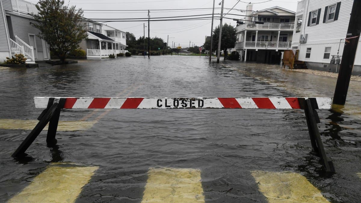
Subtropical Storm Josephine continues to move out to sea and away toward the northeast. Although it is moving away, it is still generating offshore winds that are causing minor to locally moderate coastal flooding, high waves, dangerous rip currents, and some beach erosion in various coastal areas, especially around Thursday's high tide cycles.
Impacts will diminish throughout Thursday, and a clear improvement is expected as the system moves further away. After the storm passes, a high-pressure system will settle over the eastern part of the country, bringing normal or slightly below-normal temperatures over the weekend.
Torrential rain in California and the Southwest
On the Pacific coast, a strong, closed low-pressure system with a flow of tropical moisture continues to affect California, the Southwestern desert, and the Four Corners region. Radar shows showers and thunderstorms continuing to move along the California coast and into the interior of the Southwest.
The primary hazard remains excessive rainfall this Thursday. The NWS is maintaining a flash flood watch, especially in urban areas, dry riverbeds, canyons, and areas affected by wildfires. The risk of heavy rain remains high in the Southwest and the Four Corners region.
Arizona under watch for severe storms
The focus of severe storms has shifted to southeastern Arizona this Thursday. The Storm Prediction Center is monitoring the possibility of all adverse phenomena associated with this type of storm: large hail, damaging wind gusts, and some tornadoes.
Cold in the West and warm in the center
The arrival of clouds, precipitation, and a cold front is cooling the West. In contrast, an upper-level ridge over the central part of the country is keeping temperatures above normal—and even well above normal—through the weekend.
In the Northeast and New England, overnight temperatures could approach freezing this week. The NWS notes that some areas could see the first frosts of the season.
🛠 Do you think there is an error in this article?
Recommendations







LATEST