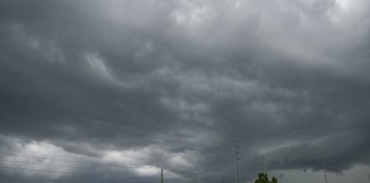
Hurricane Polo may hit Category 5 off Mexican Pacific coast
The forecast track indicates that Polo will continue its general east-southeastward movement on Tuesday, with a sharp turn toward the northwest and west-northwest expected Tuesday night and Wednesday.
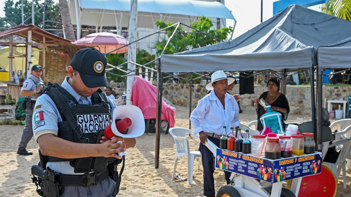
The National Guard reports on the arrival of Hurricane Polo in Acapulco, Mexico.

Hurricane Polo, the sixteenth named system of the 2026 Eastern Pacific hurricane season, has rapidly intensified and threatens to reach Category 5 within the next 48 hours as it moves near the southwestern coast of Mexico.
Current situation and track
At 12:00 a.m. (CST) on Tuesday, the eye of Hurricane Polo was in the Pacific, about 210 miles south of Zihuatanejo and 330 miles south-southeast of Manzanillo, moving very slowly toward the east-southeast at 5 miles per hour; its sustained winds reached 130 miles per hour, making it a Category 4 hurricane, with hurricane-force winds extending up to 30 miles from the center and tropical storm-force winds up to 80 miles, still out at sea but close enough to threaten the southwestern coast of Mexico with heavy rain, high waves, and flooding.

The forecast track indicates that Polo will continue its general movement toward the east-southeast on Tuesday, with a sharp turn toward the northwest and west-northwest expected Tuesday night and Wednesday. According to the National Hurricane Center (NHC), the hurricane's center is forecast to remain near the southwestern coast of Mexico over the next few days, although it is still expected to stay offshore.
Rapid intensification and risks
Meteorologists anticipate rapid and sustained intensification of Polo over the next day or two, with the possibility that it could become a Category 5—potentially catastrophic—hurricane between Tuesday and Wednesday. Rapid intensification is defined as an increase in maximum sustained winds of at least 35 mph over a 24-hour period.

Although the hurricane's core is forecast to remain offshore, impacts on the mainland remain significant. Polo is classified as a Level 1 on AccuWeather's RealImpact™ scale for hurricanes in Mexico, due to the risks of flooding rains, damaging winds, and storm surge
Major threats to the United States
Flash flooding in New Mexico: The primary threat from Hurricane Polo to the United States is the high risk of flash flooding in New Mexico, where the system's moisture combines with the seasonal monsoon. The National Weather Service issued a Level 3 out of 4 threat for the southern part of the state on Tuesday, affecting Las Cruces, with the risk shifting toward Roswell and Albuquerque on Wednesday.

Society
US experiences hottest summer on record as El Niño gains strength in tropical Pacific
Carlos Dominguez
Widespread rainfall of 1–2 inches is forecast, with localized maximums of 3–5 inches between Wednesday and Thursday—enough to cause life-threatening flooding on already saturated ground. The National Weather Service warned: "Widespread rainfall will pose a risk of life-threatening flash flooding across much of the state."
Impact on California: For California, the effects remain uncertain. The National Weather Service indicated that it is too early to determine whether Polo will affect the southern part of the state, with any possible impact arriving at the earliest by the end of the week

Society
Two decades after 'An Inconvenient Truth': What does the data say about Al Gore's predictions?
Carlos Dominguez
Major Threats to Mexico
Torrential rains and flooding: Rainfall associated with Polo will affect the coastal areas of southwestern Mexico through Thursday. Rainfall totals of 4 to 8 inches are forecast, with isolated maximums of up to 12 inches in coastal portions of the Mexican states of Guerrero and Michoacán.
These rains may cause life-threatening flooding and landslides, especially in mountainous areas. The states of Michoacán, Colima, and Jalisco are also under an alert for heavy rain through Thursday.

World
Heatwave in Europe: What is the 'Omega Block' and why isn’t It climate change’s fault?
Carlos Dominguez
Dangerous winds and waves: Along the coasts of Guerrero, Michoacán, Oaxaca, Jalisco, and Colima, weak to moderate sustained winds are currently forecast, with gusts of about 25–40 mph near the coast, but no hurricane-force winds on land. A tropical storm watch is in effect from Tecpan de Galeana to Manzanillo; tropical storm conditions along the coast are possible starting Wednesday, though the eye is not expected to make a direct landfall.
Hurricane-force winds extend up to about 30 miles from the center, and tropical storm-force winds up to about 80 miles.
Dangerous waves and storm surge: Polo will generate dangerous waves and rip currents that will affect the southwestern coast of Mexico. Although storm surge remains a risk, it is expected to be less severe because the core of the system will remain off the coast.
Society
Strong El Niño and the snow map: Which states might see more snow this winter
Carlos Dominguez
Recommendations for the public
- Monitor official advisories from Mexico's National Meteorological Service and the NHC
- Prepare emergency kits with water, non-perishable food, medications, and important documents
- Avoid flood-prone areas and landslides
- Avoid the coast due to dangerous waves and rip currents
- Be prepared for power outages and possible evacuations if conditions worsen
LATEST