ANALYSIS
The polar vortex is forming over the Arctic: Models point to a possible weakening midway through winter, against the backdrop of a very strong El Niño
Forecasts indicate a weakening between January and February 2027, possibly related to the strong El Niño event. This scenario could favor the influx of cold air, though it does not allow for the prediction of a specific cold snap.
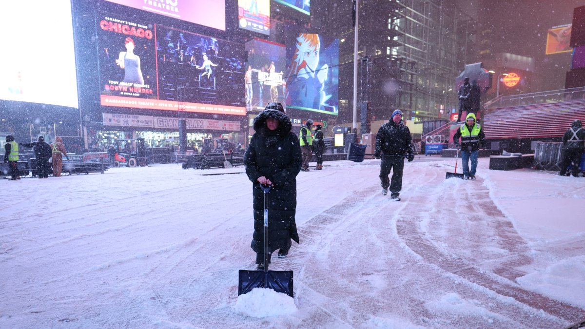
Workers clear snow from the streets of New York

A new polar vortex is beginning to form over the North Pole ahead of the 2026–27 winter. A recent provisional analysis published by the Severe Weather website detects rapid cooling of the stratosphere and a drop in pressure, common signs in the initial phase of the system's formation.
The polar vortex is a vast wind circulation that develops each winter over the polar regions. In the stratosphere, it can extend to a height of about 31 miles and helps keep the cold Arctic air confined. When the circulation weakens or becomes distorted, the likelihood increases that this air will move toward the United States, Canada and Europe.
A strong start and a possible slowdown
According to Severe Weather, the vortex could begin the winter at normal or slightly above-normal intensity. However, seasonal models point to a slowdown in winds and an increase in stratospheric pressure beginning in January, with a possible weakening phase between January and February 2027.
This pattern may precede a sudden stratospheric warming (SSW) event, during which the stratosphere's temperature rises by several tens of degrees in just a few days. The warming can weaken the vortex, displace it, or even split it, although forecasts cannot confirm that an SSW will occur or determine when it might happen.
Society
Two decades after 'An Inconvenient Truth': What does the data say about Al Gore's predictions?
Carlos Dominguez
The connection to El Niño
The potential weakening coincides with the development of a very strong El Niño event in the tropical Pacific. Ocean warming can modify the atmospheric waves that rise from the lower layers into the stratosphere and alter polar circulation.
The models cited in the analysis project temperature anomalies exceeding 9 degrees Fahrenheit in some areas of the Pacific during the fall and winter. Severe Weather believes this episode could be one of the most intense in recent decades, although the relationship between El Niño and the vortex's evolution is not automatic.
World
Heatwave in Europe: What is the 'Omega Block' and why isn’t It climate change’s fault?
Carlos Dominguez
Possible surface effects
If the vortex weakens significantly, cold Arctic air could move toward mid-latitudes and increase the risk of cold snaps, blizzards and intense winter events in parts of the United States, Canada and Europe.
However, a weak polar vortex does not necessarily mean that the entire winter will be cold or that a specific region will experience snow. The effects depend on the jet stream, atmospheric pressure, and the evolution of other weather patterns. Furthermore, when a SSW occurs, its potential surface effects typically appear with a delay of 10 to 30 days.
For now, the most notable signal is a possible weakening of the vortex midway through the winter. Upcoming model updates will need to confirm whether this trend persists and whether it ultimately leads to atmospheric disturbances affecting the weather in North America and Europe.

World
France | More than 7,300 excess deaths and 52 days of heat waves: Longest summer on record
Carlos Dominguez
LATEST