







Heavy rains threaten Rhode Island, Massachusetts, and southern Texas over the weekend
Southeastern New England faces the highest risk of flash flooding, while southern Texas will see increasing rainfall on Saturday and Sunday.
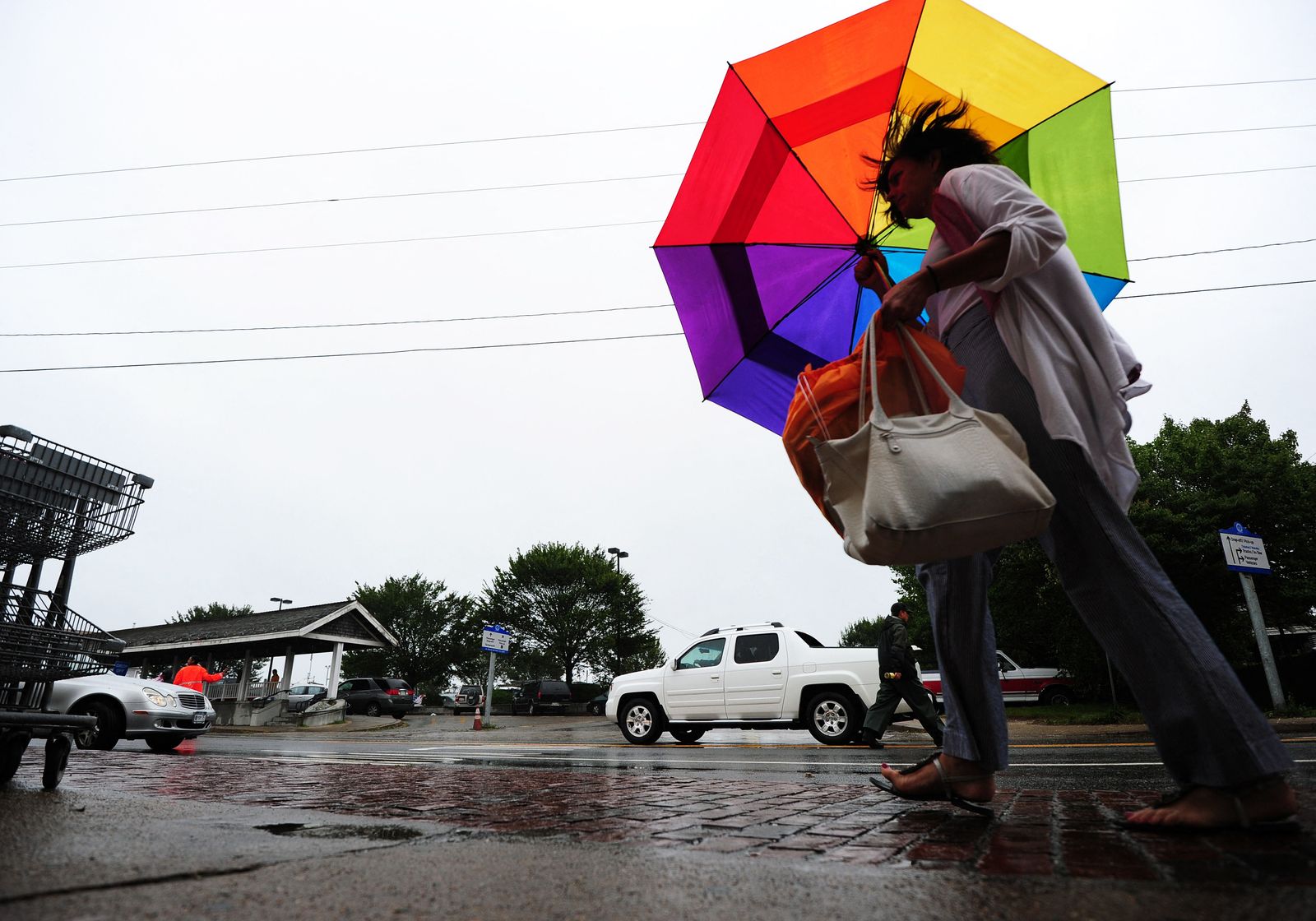
Rain in Martha's Vineyard, Massachusetts,

Most of the country will experience relatively stable weather in the coming days, but the National Weather Service (NWS) warns of the risk of excessive rainfall from the mid-Atlantic coast to southeastern New England, as well as a gradual increase in heavy rainfall in the southern part of Texas over the weekend.
New England: The area at greatest risk
The primary warning focuses on eastern Long Island and Connecticut, Rhode Island and eastern Massachusetts. The NWS forecasts accumulations of 3 to 5 inches or more over 24 hours, especially between Newport and Providence in Rhode Island and Plymouth in Massachusetts.
The models used by the agency indicate a 40% to 50% chance that some areas will exceed 5 inches of rain in a single day. That amount could cause localized flooding, even in coastal areas where the soil typically absorbs rainfall more effectively.
The rain and embedded thunderstorms will move northeastward along Interstate 95, driven by several low-pressure troughs that will move along the East Coast as part of a slow-moving front. The expected humidity is unusually high for early November.
Mid-Atlantic: Storms and rain
On the mid-Atlantic coast, including the Hampton Roads region in Virginia, there is a marginal risk of excessive rainfall. Showers and thunderstorms are expected Friday afternoon and early evening, with possible rainfall rates exceeding one inch per hour.
Average accumulations in this area could range from 1.5 and 3 inches. Although the risk of flooding is lower than in New England, heavy rain could reduce visibility and cause puddles or flash flooding in urban areas.
South Texas: Rainfall on the rise
The risk of heavy rainfall will gradually increase in south-central and southern Texas on Saturday and Sunday. The NWS offices in Austin and San Antonio forecasts a 40% to 60% chance of rain, with the first showers appearing Saturday afternoon over the Edwards Plateau, the Rio Grande Plains, and the Coastal Plains.
The rain could extend through Saturday night and Sunday across much of south-central Texas. The San Antonio area, the southern Edwards Plateau, and the Rio Grande Plains are among the areas most likely to receive more than one inch of rain over the weekend.
The NWS also highlights a possible corridor of 3 to 6 inches of rain along the lower and middle Texas coast, especially near the Gulf. The combination of subtropical moisture, coastal convergence, and an upper-level low-pressure system could concentrate the heaviest rainfall in that strip.
Cold, snow, and winds in other regions
In the Great Lakes, an upper-level low-pressure system will bring cold rain and could produce a mix of rain and wet snow near the border with Canada. By Sunday morning, wet snow is expected in the inland highlands of New England.
In the Pacific Northwest, a powerful cyclone will arrive Sunday morning, bringing increasing winds and rain. Coastal areas, the windward slopes of the Cascades, and the northern Intermountain West could see the heaviest precipitation.
Meanwhile, a low-pressure system moving across southern Canada will bring dry conditions and milder-than-usual temperatures to the northern plains. A cold air mass associated with a high-pressure system will extend from the southern plains to the Ohio Valley and reach the mid-Atlantic on Saturday.
🛠 Do you think there is an error in this article?
Recommendations





LATEST