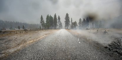
NWS warns of high winds and snow across the Great Lakes ahead of Thanksgiving
Areas known as the Snow Belt, including the Arrowhead area, could receive more than 30 centimeters of snow, combined with intense wind gusts that will drastically reduce visibility at the height of the storm.

Snow in the United States
The National Weather Service (NWS) reported that a deep cyclone advancing over the Great Lakes region will usher in the first significant snowfall of the season in the northern part of the country, generating blizzard conditions especially along the southern shore of Lake Superior during this Wednesday.
Areas known as the Snow Belt, including the Arrowhead area in Minnesota, could receive more than 30 centimeters of snow, combined with intense wind gusts that will drastically reduce visibility at the height of the storm.
Meanwhile, a growing list of Minnesota schools decided to close Wednesday as the winter storm moves through the state. According to CBS, the snow and bitter cold will affect travel conditions with slippery roads, slower travel and an increase in accidents.
According to the service, as the system progresses eastward and expands in size, the rain will progressively change to snow across the remainder of the Great Lakes, extending through the morning of Thanksgiving Day. In addition, lake-effect snow bands are forecast to form and continue to affect areas downwind through Friday.
"Much of the eastern U.S. will wake up with another day of milder than normal temperatures together with scattered showers and a better chance for thunderstorms in the Southeast. New England will see steady rain ending this morning. It will take the entire day today for the cold air to reach the East Coast by tonight," the service detailed.
The western part of the country will enjoy milder temperatures
"This will be followed by an increasing chance of snow across Montana Friday morning, with what appears to be an upslope snow event setting up across the region under arctic high pressure intrusion from the north and low pressure system developing over the central High Plains," the NWS said.
The NWS also noted that thunderstorms in Southern Texas during Wednesday morning are expected to gradually diminish as the cold front moves farther south later in the day.


