







North Carolina: Dare County issues evacuation order for Hurricane Erin
Residents of Hatteras Island face the threat of potential flooding in the coming days.
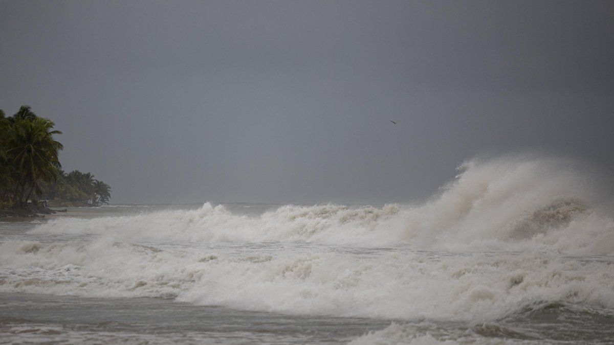
Hurricane Erin leaves strong currents and storm surge as it passes through the Caribbean

"A State of Emergency declaration has been issued for all areas of Dare County. A mandatory evacuation has been issued for Hatteras Island as follows. A coastal flood warning has already been issued for Dare County. Coastal flooding and ocean storm surge is expected to begin Tuesday, August 19, 2025, and continue through Thursday, August 21, 2025," local authorities reported, adding that "it is likely" that some access roads on Hatteras Island will be "impassable."
After several days of looming threat, Hurricane Erin—the Atlantic season’s first storm—began intensifying last Friday as it moved through the Caribbean.
On Saturday, the storm reached Category 5—deemed “catastrophic” by the National Hurricane Center (NHC)—before gradually weakening to Category 3 as time passed.
However, by Sunday night, it regained intensity. "Erin strengthened back to a category four hurricane," with "potentially deadly waves and currents," the NHC reported.
The hurricane was located about 127 miles off Grand Turk Island in Turks and Caicos, with winds reaching 134 miles per hour.
🛠 Do you think there is an error in this article?
Recommendations




LATEST