






Heat wave peaks in West and North, as risk of flash flooding increases in South
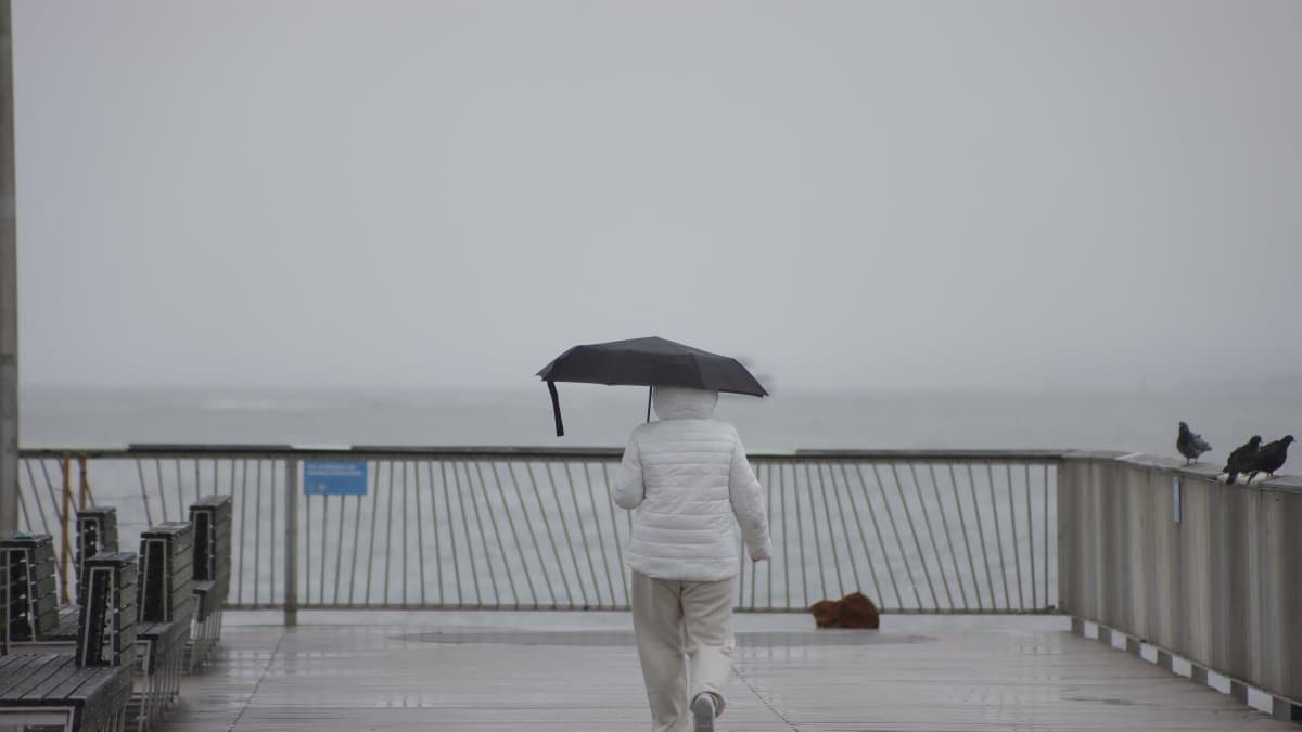
The heaviest rainfall will be concentrated between Monday and Tuesday along the central Gulf Coast and in central Texas, where moisture from the Gulf will remain associated with the trailing edge of a stationary front.


An intense heat wave will peak between Monday and Tuesday across large parts of the western and northern United States, where record temperatures could be set, while heavy rains and the risk of flash flooding will shift toward the central Gulf Coast and central Texas, according to the Weather Prediction Center (WPC) of the National Weather Service (NWS).
The agency reported that a high-pressure system in the upper atmosphere, reinforced by a trough moving toward the Pacific Northwest, will contribute to an abnormal heat wave stretching from the Great Basin to the Northern Great Plains.
High temperatures will frequently exceed 100 F in that region of the country.

Given these conditions, authorities recommend staying hydrated, taking frequent breaks and limiting outdoor activities whenever possible. Although a cold front will bring slightly cooler air from the Pacific Northwest toward Montana, extreme heat will persist in the Northern Great Plains through the middle of the week.
By Monday, the risk of flooding will decrease in the Mid-Atlantic region, although heavy downpours will still be possible in parts of the southeastern United States.
Rain
The agency warned that, as several consecutive days of heavy rain accumulate, the potential for significant flash flooding will increase on Wednesday in parts of western and central Texas, and therefore urged the public to follow upcoming forecast updates.
Further west, the influx of monsoon moisture will lead to an increase in afternoon thunderstorms over parts of the Great Basin and the Intermountain region, with the possibility of isolated flash floods and severe weather at least through the middle of the week.
🛠 Do you think there is an error in this article?
Recommendations







LATEST