Weather alert: Risk of heavy rain and snowfall in several areas of the country
A slight risk of excessive rainfall is forecast Monday for parts of the Central and Southern California coast, with a low risk continuing through Tuesday due to the arrival of another weak disturbance.
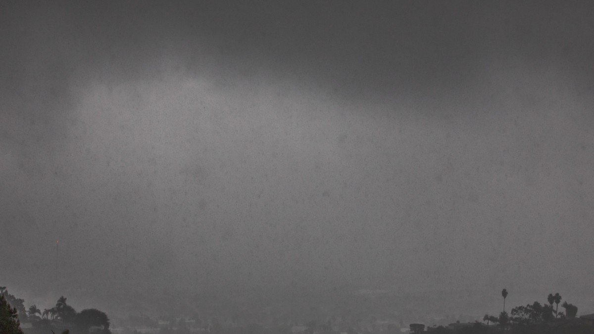
Rains in California

The National Oceanic and Atmospheric Administration (NOAA) issued severe weather warnings for several western and central regions of the country over the next several days.
A slight risk of excessive rain is forecast for parts of the Central and Southern California coast on Monday, with a low risk continuing through Tuesday due to the arrival of another weak disturbance. The combination of subtropical moisture transported from the ocean and a strengthening maritime flow could generate locally heavy rainfall, especially in areas affected by recent fires, increasing the potential for flash flooding.
In parallel, heavy snowfall is expected in mountainous areas, including the Olympic Mountains, the Cascades and the Sierra Nevada, extending into the Rocky Mountains with the arrival of another short wave on Tuesday. The Sierra Nevada will be the hardest hit area, due to multiple storm systems bringing large amounts of moisture.
Authorities ask to be attentive to warnings

Society
NWS warns of thunderstorms with possible tornado risk in the Southeast and heavy rain in California
Williams Perdomo
In the Northern Plains and upper Great Lakes region, a cold front will move southeastward between Tuesday night and Wednesday, initially generating showers that will gradually turn to snow in northern Montana and North Dakota. Wisconsin and Minnesota will experience a wintry mix by Wednesday.
Temperatures will be above normal across much of the Central Plains, Great Lakes and Tennessee Valley from Monday through Tuesday, running 15 to 30 degrees above average. Some areas in the central U.S. could see highs in the 70s and 90s, while the eastern U.S. will remain in the 50s and 60s. In contrast, much of the western U.S. will experience cooler conditions, with temperatures 5 to 10 degrees below normal and highs in the 40s and 50s.
LATEST