Panic and emergency evacuations in Indonesia: 7.7-magnitude earthquake strikes East Nusa Tenggara province
According to reports from the U.S. Geological Survey (USGS), the earthquake was centered in the Flores region.
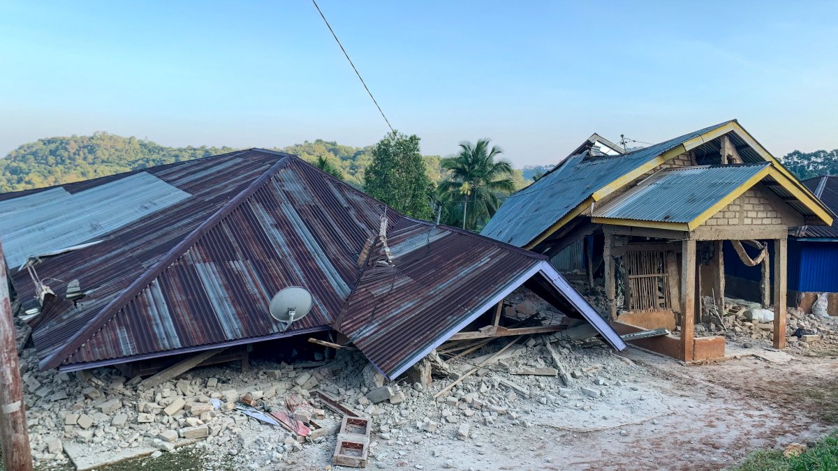
Damaged houses are seen following a 7.7-magnitude earthquake in Ruteng, Manggarai, East Nusa Tenggara, on August 15, 2026.

A powerful 7.7-magnitude earthquake struck the coast of Indonesia in the early hours of Saturday, August 15.
The undersea earthquake put emergency response teams in the Asian country on high alert due to the imminent risk of a tsunami, forcing them to coordinate the evacuation of entire communities to safe areas.
According to measurements reported by the U.S. Geological Survey (USGS), the seismic event was located in the Flores region, at a depth of just 10 kilometers at 5:58 a.m. local time.
The epicenter was located about 42 miles northwest of the city of Ende, in the province of East Nusa Tenggara, and was followed almost immediately by at least two significant aftershocks.
Order for immediate evacuation to higher ground
The Indonesian Agency for Meteorology, Climatology, and Geophysics promptly issued a tsunami warning, alerting the population to the danger of remaining near the coastline and river mouths. The shallow depth of the epicenter on the seafloor increased the level of risk along the entire coastline of the island of Flores.
Given the gravity of the situation, the disaster management system issued direct instructions for preventive evacuation. Abdul Muhari, spokesperson for the National Disaster Management Agency (BNPB), issued an urgent appeal to the local population, as reported by AFP.
"We strongly urge our communities along the northern coast of Flores and in the southern areas, on the southern islands, and throughout the southern region to carry out a self-evacuation immediately," the official told Kompas TV.
Official recommendations urged citizens to move quickly more than 1.2 miles inland or seek shelter in mountainous areas at an elevation of more than 30 feet.
So far, civil protection agencies have not reported any fatalities or large-scale infrastructure failures, while they continue to closely monitor tide gauge stations to measure abnormal variations in sea level.
Indonesia's vulnerability to this type of phenomenon stems from its geographic location on the so-called Pacific "Ring of Fire," one of the areas of greatest tectonic stress and volcanic activity on the planet.



LATEST