







Heavy rains threaten to cause flash floods in southwestern part of country
The Weather Prediction Center forecasts heavy rainfall in California, the Four Corners region, and the southwestern United States beginning this Wednesday. Meanwhile, coastal flooding along the Mid-Atlantic and in the Northeast will begin to subside.
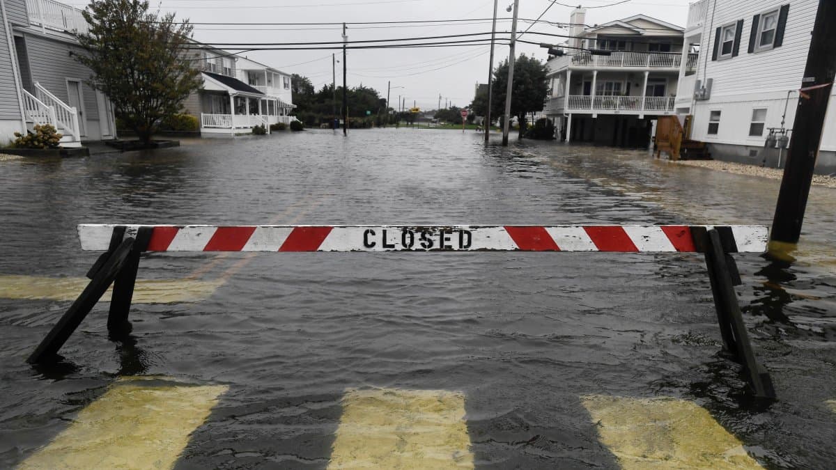

Heavy rains could cause flash floods in parts of California, the Four Corners region and the Southwest starting Wednesday, due to the arrival of tropical moisture from the west, according to the National Weather Service's (NWS) Weather Prediction Center.
According to the forecast, an upper-level trough moving in from the eastern Pacific will facilitate the flow of tropical moisture toward the Southwest and the Four Corners region. A low-pressure system will contribute to the formation of rain and thunderstorms capable of causing scattered flash floods.
On Wednesday, the areas at greatest risk for these events will include central and southern California, the Four Corners region and the southwestern desert. By Thursday, the threat of flash flooding will be concentrated primarily in the Four Corners region, although heavy rain could persist in southern California.
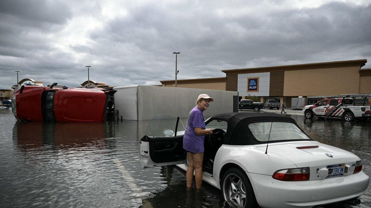
Meanwhile, the nor'easter off the Mid-Atlantic coast will continue its northward track out to sea over the next 48 hours. The agency forecasts that coastal flooding conditions in the mid-Atlantic and the Northeast will begin to improve by Thursday.
The National Hurricane Center continues to monitor this system due to the possibility that it may develop subtropical characteristics. However, the storm is expected to move further out to sea by Thursday night.
As for temperatures, the passage of the trough and an associated cold front will keep temperatures below average in the western part of the country. In contrast, a ridge of high pressure over the central United States will bring above-normal temperatures—and well above average in some areas—for the rest of the week and through the weekend.
In the east, high temperatures will rise slightly above average as the storm moves away. However, the forecast calls for overnight lows near freezing in some parts of the Northeast and New England on Tuesday and Wednesday nights.
🛠 Do you think there is an error in this article?
Recommendations






LATEST