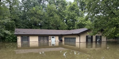
The central and eastern parts of the country remain at risk of severe storms and flooding
The passage of a weather front will bring rain and thunderstorms to several regions of the country, while extreme heat will persist in parts of the southern Great Plains and the Mississippi Valley.
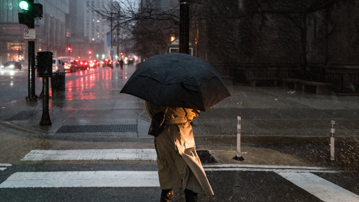
Illustrative image of rainfall

The National Weather Service's Weather Prediction Center warned that rain and thunderstorms will continue Sunday, Sept. 13, across the central and eastern parts of the country, with a risk of excessive rainfall and severe storms.
According to the forecast, the frontal system will move toward the Great Lakes region and the Ohio Valley, while a warm front will move northeastward. The interaction of these systems with a moist and unstable air mass will promote the development of storms.
On Sunday, the frontal system will continue moving slowly northeastward, while the rear of the front moves northward over the central part of the country. This will maintain the threat of severe storms in parts of the Ohio Valley and the Northeast, along with the risk of excessive rainfall in parts of the Northeast and the Midwest.

Rain in the Northwest and persistent heat in the South
In the Northwest, an atmospheric trough will set the stage for the arrival of another frontal system, which will bring heavy rain. Meanwhile, daily monsoon-related thunderstorms will continue south of the Rocky Mountains and in the Four Corners region, with the possibility of isolated flash floods.
The Pacific system will also promote the formation of a cyclone east of the northern and central Rocky Mountains. By Sunday morning, the interaction of a strong low-level airflow with a northward-moving front will bring rain and thunderstorms to the Great Plains, with a risk of isolated or scattered flash floods.
The heat
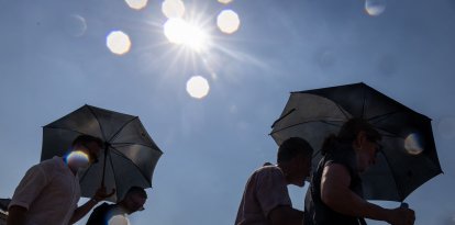
However, the persistence of a ridge of high pressure will keep temperatures high in parts of the southern Great Plains and the middle Mississippi Valley, where record-breaking temperatures could be recorded over the weekend.
LATEST