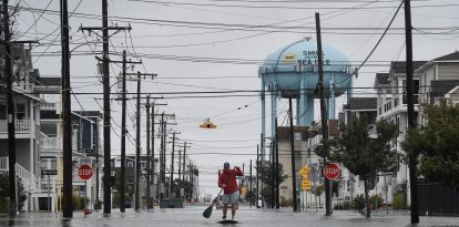
Severe storms and a risk of flooding threaten several areas of the country this weekend
The Weather Prediction Center (WPC) issued a slight risk (level 2 of 5) of severe thunderstorms for parts of the Greater Basin on Saturday, while maintaining a slight risk (level 2 out of 4) of excessive rainfall in parts of the southwest through Monday.
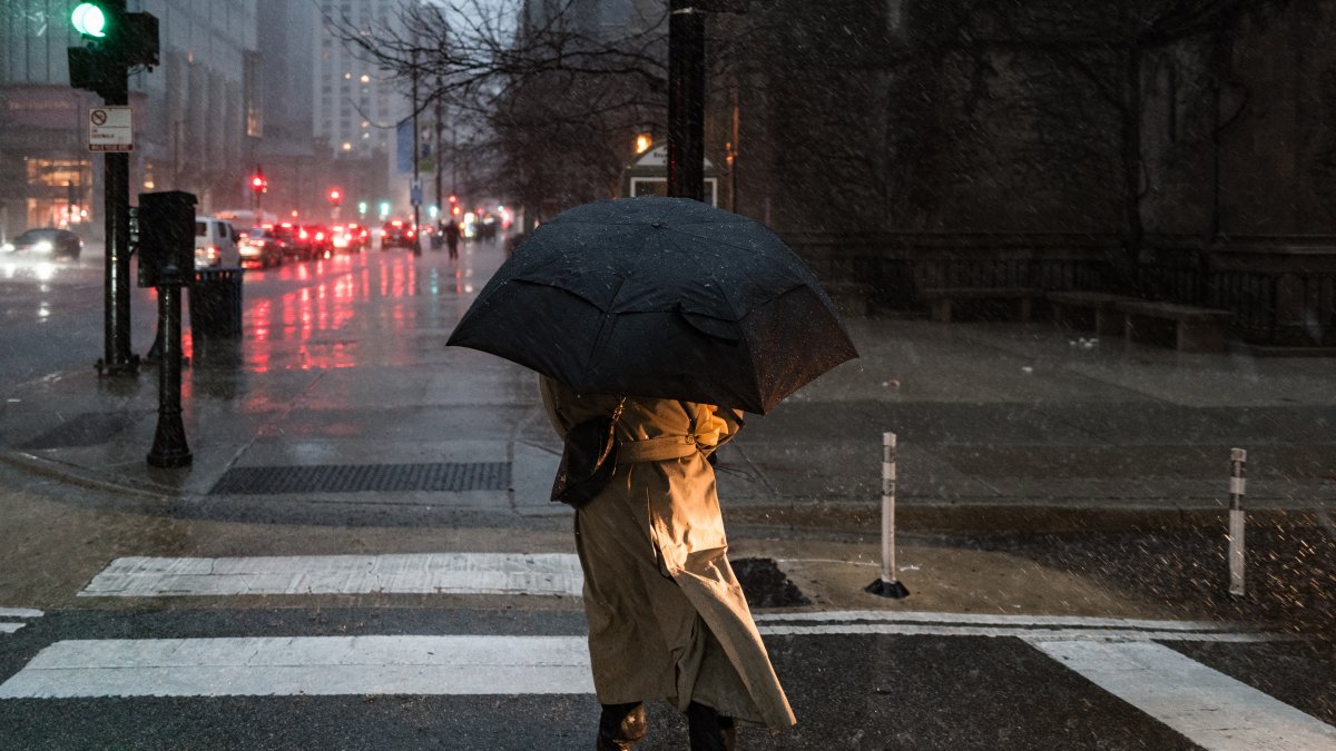
Illustrative image of rainfall

The National Weather Service (NWS) has issued a warning about severe weather and excessive rainfall in several regions of the country from Saturday, August 29, through Monday, August 31, with particularly active storms in the western and central parts of the country.
The Weather Prediction Center (WPC) issued a slight risk (level 2 of 5) of severe thunderstorms for parts of the Greater Basin on Saturday, while maintaining a slight risk (level 2 out of 4) of excessive rainfall in parts of the Southwest through Monday.

Monsoon moisture will favor the development of thunderstorms and heavy rain in the southwest. The WPC noted that rainfall could cause mainly localized flash flooding, with urban areas, roads, small streams, canyons, and narrow ravines—as well as areas previously affected by wildfires—being particularly vulnerable.
In other areas, a nearly stationary front will bring rain and thunderstorms from the South Atlantic to the Southeast and the central and eastern coasts of the Gulf of Mexico. On Saturday night, thunderstorms will also spread toward the Great Lakes.
Storm threats
By Sunday night and early Monday morning, the storms could extend toward New England, while another stationary front will move from the northern Great Plains toward the Great Lakes and the Mid-Atlantic.
LATEST