






Texas is closely monitoring the development of potential Tropical Storm Bertha
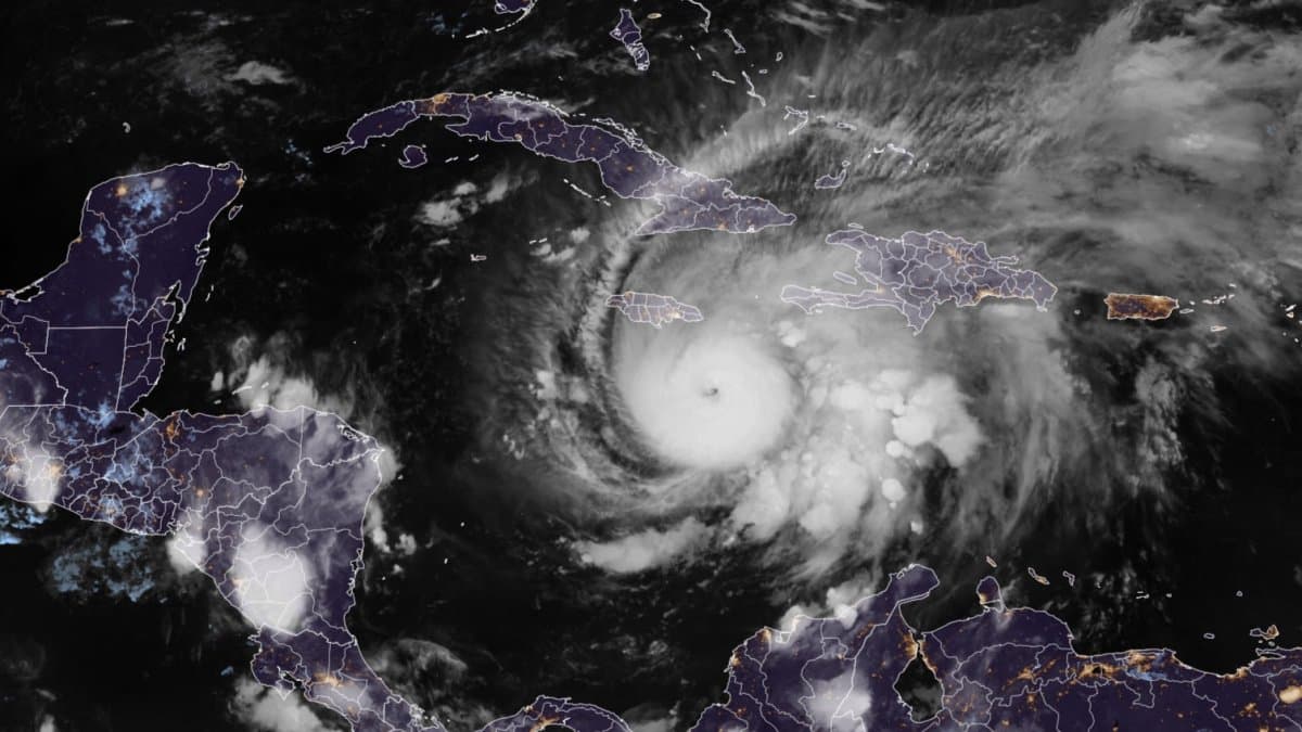
According to the National Hurricane Center (NHC), the system was located Monday morning approximately 100 miles (160 km) south of Panama City, Florida, with maximum sustained winds of 30 mph (45 km/h) and moving slowly toward the northwest at just 3 mph (5 km/h).
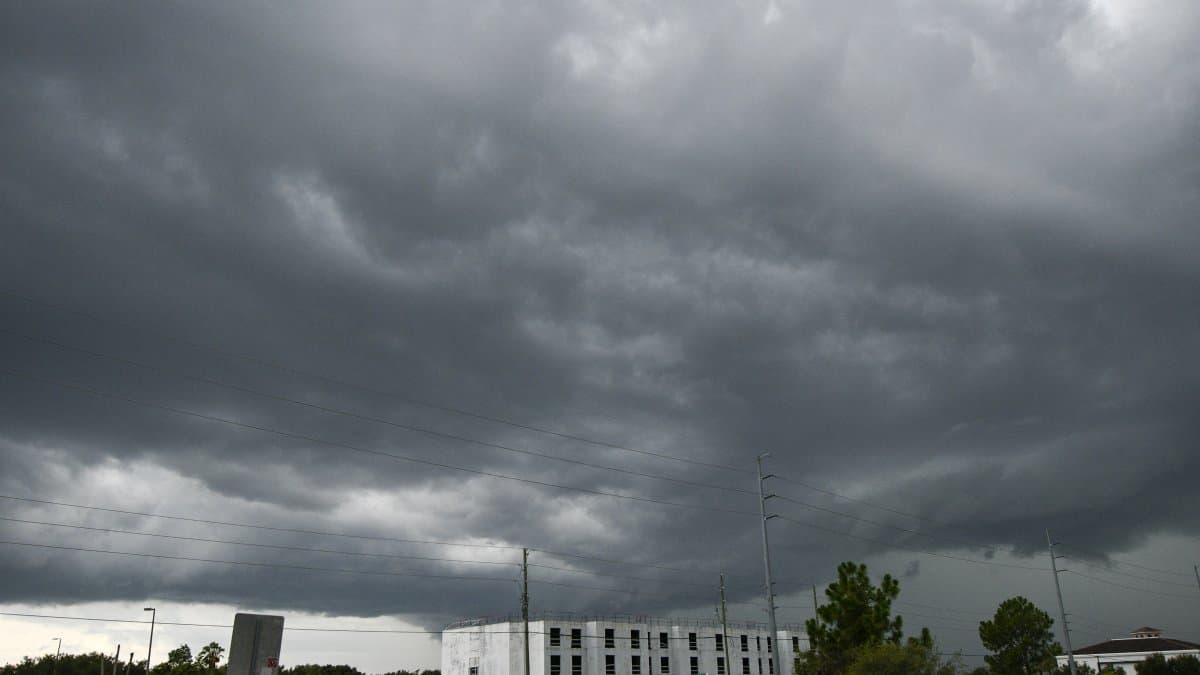

Tropical Depression Two continues to organize over the eastern Gulf of Mexico, and the official forecast indicates that it could become Tropical Storm Bertha on Monday, which would also be the second named storm of the 2026 Atlantic hurricane season.
According to the National Hurricane Center (NHC), the system was located Monday morning approximately 100 miles (160 km) south of Panama City, Florida, with maximum sustained winds of 30 mph (45 km/h) and moving slowly toward the northwest at just 3 mph (5 km/h).
Tropical Storm Watch
Authorities have issued a Tropical Storm Watch for parts of northwestern Florida, from the Ochlockonee River to the Alabama border, where tropical storm conditions could begin between Monday and Tuesday. In addition, the NHC warns of the possibility of storm surge ranging from 1 to 3 feet (30 to 90 centimeters) in coastal areas.
The main risk will be rain
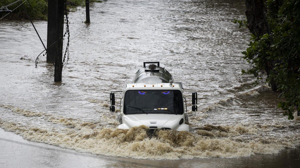
Rainfall totals are expected to range from 2 to 4 inches (50 to 100 mm) across large areas, although in isolated locations they could exceed 8 inches (200 mm), especially in parts of the Gulf Coast.
In northwest Florida and the Big Bend region, several days of heavy rainfall are also expected, with localized risk of flooding.
Texas remains under watch, but uncertainty persists
One of the aspects drawing the most attention is the possibility that the system could end up moving westward and approaching Texas during the second half of the week.
The most recent numerical models show a possible westward turn between Tuesday and Wednesday, which would open the door to impacts on southeastern Texas between Thursday and Friday. However, the National Hurricane Center emphasizes that the storm's track and intensity remain uncertain due to factors such as wind shear, dry air, and the influence of a high-pressure system.
Therefore, it cannot yet be confirmed that Bertha will make landfall in Texas, although that scenario remains among the possibilities being evaluated by the forecast models.
Society
Breather for the Atlantic: Forecasters predict calmest hurricane season in 13 years
Diane Hernández
Hurricane-hunting planes gather information
To reduce uncertainty, reconnaissance aircraft known as Hurricane Hunters continue to fly over the tropical depression.
The data collected provides a more precise understanding of the cyclone's structure, wind speeds and atmospheric pressure, and helps improve official projections regarding its development.
Two possible scenarios
According to the meteorological analysis:
- If the system remains weak and quickly makes landfall, the heaviest rains could extend inland across the southeastern United States.
- If it manages to strengthen and remains over the Gulf longer, the heaviest rainfall would remain near the coast and could later move toward Louisiana and Texas as the week progresses.
What the official forecasts say
The agency emphasizes that residents from Florida to Texas should follow official updates, as small changes in the track could significantly alter the areas at greatest risk of rain, wind and storm surge.
🛠 Do you think there is an error in this article?
Recommendations








LATEST