







Heavy rain alert in Texas and a persistent heat wave in the northern part of the country
According to the Weather Prediction Center, the slow-moving atmospheric pattern will favor the repeated formation of thunderstorms over the southern part of the country, especially in Texas, where the combination of moisture from the Gulf of Mexico and disturbances in the upper atmosphere will increase the risk of heavy rainfall through Friday.
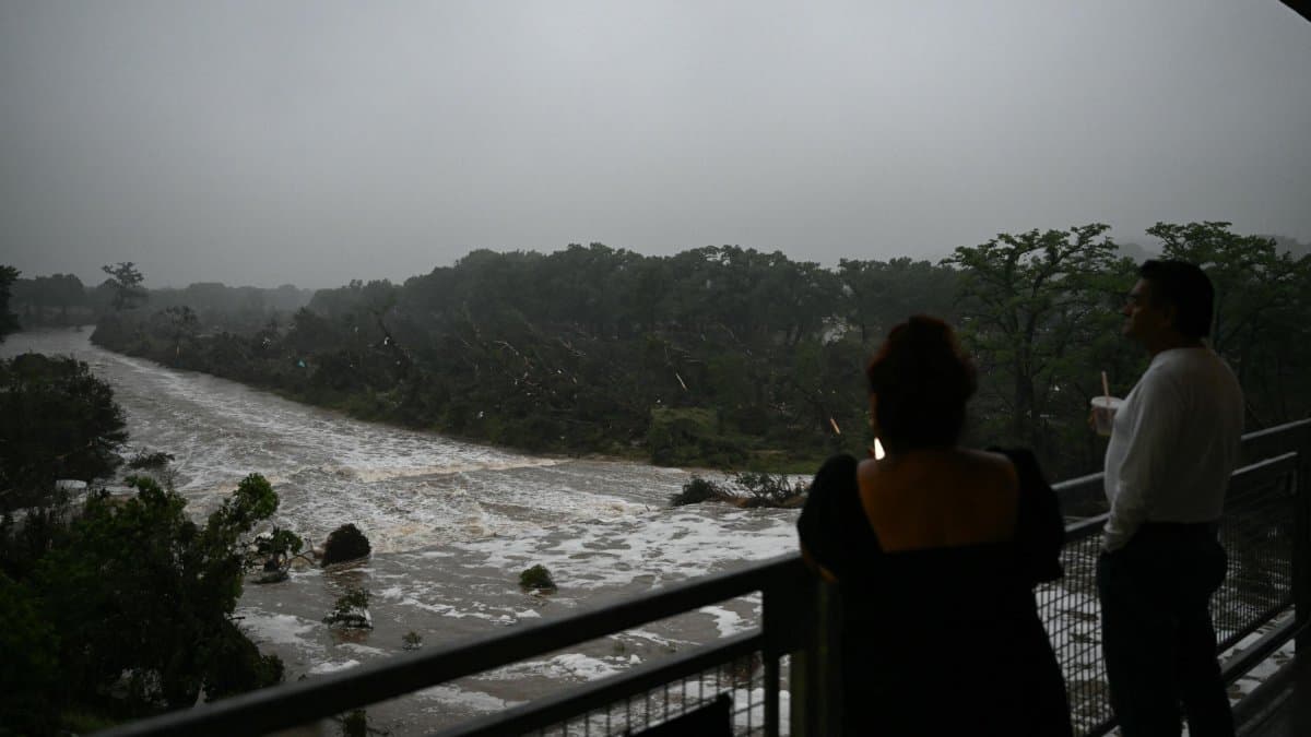

The National Weather Service warned on Wednesday of the likelihood of additional excessive rainfall in the Texas Hill Country region, where between 6 and 8 inches (15 to 20 centimeters) of rain are expected over the next few days, with localized amounts exceeding 10 inches (25 centimeters), which could lead to dangerous flash floods.
According to the Weather Prediction Center, the slow-moving atmospheric pattern will favor the repeated formation of storms over the southern part of the country, especially in Texas, where the combination of moisture from the Gulf of Mexico and upper-level disturbances in the atmosphere will increase the risk of heavy rainfall through Friday.

At the same time, a prolonged spell of heat and humidity will continue to affect the Northern Great Plains and the Great Lakes region, with daily high temperatures ranging from 90 to 100 degrees Fahrenheit (32 to 38 degrees Celsius). The agency forecasts that the heat will also spread to the northern part of the Mid-Atlantic region, where some areas could reach three-digit Fahrenheit temperatures on Thursday.
The NWS has extreme heat warnings in effect for parts of the Northern Great Plains and high temperature advisories for large areas of the Great Lakes, New England, and the northern Mid-Atlantic. The agency recommended that people stay hydrated, take frequent breaks, and limit outdoor activities.
Risk of Storms
The National Weather Service also noted that some of the storms forecast for the southern and southeastern parts of the country could lead to isolated instances of flash flooding and severe weather over the next few days.
🛠 Do you think there is an error in this article?
Recommendations








LATEST