Arthur threatens the Gulf: catastrophic rainfall, risk of historic flooding and millions on alert
The system, which could become the first named storm of the 2026 hurricane season, threatens to dump more than 38 centimeters of rain on Texas and Louisiana while creating dangerous conditions across much of the country.
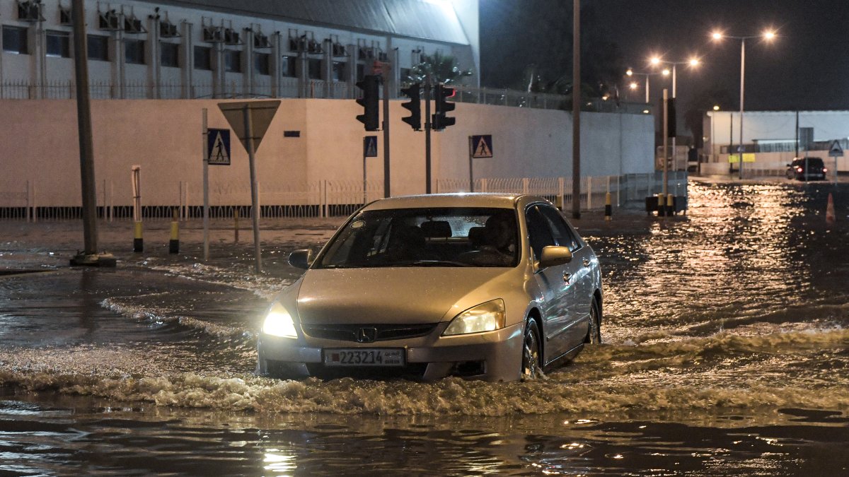
A vehicle drives down a flooded street (File photo)

The Gulf Coast faces a major weather threat. A developing tropical system, which could become Tropical Storm Arthur in the coming hours, has put millions of people on alert due to the risk of potentially deadly flash floods, record-breaking rainfall, and severe conditions that could extend from Texas to the Mississippi Valley.
The National Hurricane Center (NHC) officially designated the phenomenon as Potential Tropical Cyclone One, a category that allows for the issuance of advisories and warnings before the system reaches the classification of tropical storm. Although the system’s exact trajectory remains uncertain, experts agree that its greatest danger will not be the winds, but rather the enormous amount of tropical moisture it is carrying.
Forecasts call for widespread rainfall totals of 5 to 7 inches, with some areas potentially receiving more than 15 inches—enough to cause severe urban flooding, river overflows, and widespread road closures. The threat affects more than 20 million people, including metropolitan areas such as Houston, Austin and San Antonio.
The situation is particularly critical because much of Texas has already received heavy rainfall in recent days. Saturated soil reduces the ground’s absorption capacity and significantly increases the risk of flash flooding.
In light of this situation, Governor Greg Abbott declared a state of disaster in 101 counties and activated 24-hour emergency operations to coordinate the state’s response to potential rescues, evacuations, and infrastructure damage, according to local media.

Arthur could form over Gulf waters
Meteorologists expect the system to strengthen as it moves over the warm waters of the Gulf of Mexico. If it reaches sustained winds of at least 63 kilometers per hour, it will be named Arthur, becoming the first named tropical storm of the 2026 Atlantic season.
The phenomenon is fueled by an unusual combination of atmospheric factors: tropical moisture from the eastern Pacific, remnants of previous systems, and an interaction with stationary fronts over the southern part of the country. The result is a massive rain machine that will remain active for much of the week.
Dual Weather Threat
While the Gulf Coast braces for potentially historic flooding, another threat is developing simultaneously in the center of the country.
The Storm Prediction Center has issued a warning about a severe weather outbreak that could produce tornadoes, large hail, and destructive winds from Iowa and Illinois to the Great Lakes region and the Ohio Valley. Experts are calling this event one of the most significant severe storm episodes forecast for this week.
A nation divided between floods, storms, and extreme heat
The weather picture shows stark contrasts across different regions of the country. While Texas and Louisiana are facing torrential rains, the western part of the country remains under alerts for extreme heat, with temperatures exceeding 43 degrees Celsius in parts of the southwestern desert and the Central Valley of California.
Paradoxically, once the tropical system leaves Texas, an intense heat wave is expected to arrive, which could cause temperatures to soar again across large parts of the state.
In Florida, meanwhile, the chances of rain and thunderstorms will increase over the next few days, especially in the northern half of the state.

Constant vigilance
With Arthur on the verge of forming and the atmosphere laden with tropical moisture, the priority for millions of residents will be one and only one: to stay prepared for an event that could bring record-breaking rainfall and dangerous conditions for several days.
LATEST