Severe storms, flash floods, and extreme heat threaten large parts of the country this weekend
The most severe conditions will be concentrated in the Mississippi Valley, the Great Lakes region, and the Ohio Valley, where there is a risk of severe thunderstorms and rainfall capable of causing flash floods.
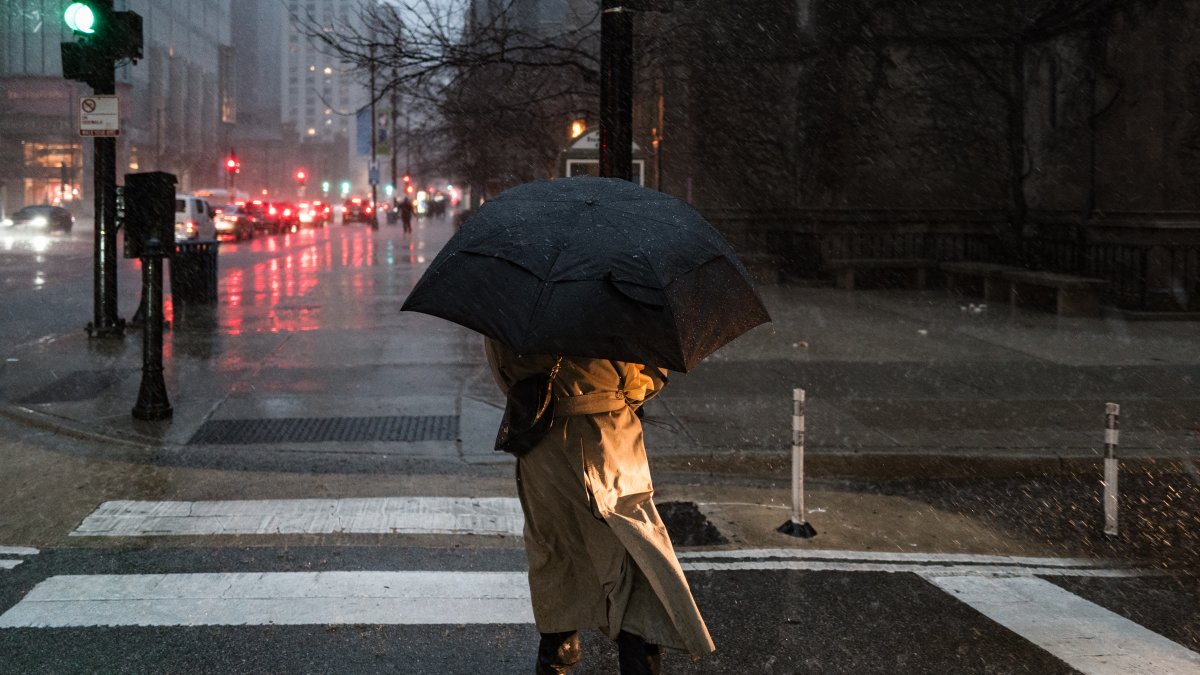
Illustrative image of rainfall

Weather authorities warned that severe storms, heavy rain, a risk of flash flooding, and a dangerous heat wave will affect various regions of the country between Friday, July 31, and Sunday, August 2.
According to the Weather Prediction Center (WPC) of the National Weather Service (NWS), the most severe conditions will be concentrated in the Mississippi Valley, the Great Lakes region, and the Ohio, where there is a risk of severe thunderstorms and rainfall capable of causing flash floods.
The agency explained that a low-pressure system and a cold front will slowly move across the central part of the country, interacting with warm, humid, and unstable air. This combination will lead to heavy rain and thunderstorms on Friday.
For that day, the WPC issued a moderate risk (level 2 of 4) of excessive rainfall for parts of the Upper Midwest, the Middle Mississippi Valley, and parts of the Ohio Valley. In addition, it maintains a slight risk (level 2 of 5) of severe thunderstorms in areas of the Mississippi Valley and the Ozarks.
On Saturday, as the system moves eastward and merges with another cold front over the Great Lakes region, the risk of heavy rain and severe thunderstorms will shift toward the Lower Great Lakes, the Ohio and Tennessee valleys, and parts of the southeastern United States.
According to the forecast, these storms could produce destructive wind gusts, isolated hail, and possible tornadoes.
Flash floods in the four corners region
In the Southwest, monsoon-related moisture will continue to fuel afternoon thunderstorms in the region known as the Four Corners, where Arizona, New Mexico, Utah, and Colorado converge.
The National Weather Service warned that the slow movement of the storms and increased atmospheric instability will heighten the risk of isolated flash floods, as well as the possibility of damaging winds and hail through Saturday.
The agency also indicated that the Southeast will experience several daily episodes of heavy rain, which will maintain a localized risk of flash flooding.
Dangerous heat wave in the west
The forecast calls for high temperatures this Friday to reach between 110 and 120 degrees Fahrenheit (43 to 49 °C) in parts of the Southwest, while on Saturday, the extreme heat will spread to the mountainous west and the northern High Plains, where temperatures will range from 90 to over 100 degrees Fahrenheit (32 to 38 °C or higher).
Authorities also warned that nighttime temperatures will remain high, reducing relief during the night and increasing the risk of heat-related illnesses, especially among people without access to adequate cooling or hydration systems.
The National Weather Service indicated that large areas of the western United States will remain under conditions of high to extreme heat, and therefore recommended taking precautions against the high temperatures.
LATEST