


New winter storm puts the country in check for the Christmas vacations
The National Weather Service warns that the storm will arrive bringing heavy snowfall, winds and a fairly steep drop in temperatures.
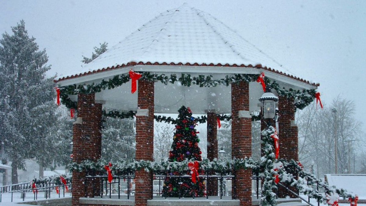
Cindy Cornett Seigle / Flickr

A week after a winter storm threatened the entire country, a new storm now threatens the Christmas vacations for 270 million people. The National Weather Service warned that the weather phenomenon will begin tomorrow, Tuesday, December 20 and will last until Saturday, December 25. The storm will be accompanied by heavy snowfall, winds and a steep drop in temperatures:
An arctic air mass
The winter storm, the National Weather Service warned, will affect parts of the Central Appalachians, eastern Great Lakes, Mid-Atlantic and Northeast, crossing much of the country. This will make traveling during the holiday season complicated, as the agency warned in statements reported by The New York Times:
Beginning this Tuesday and continuing through Saturday, an arctic air mass is expected to cause highs to be between 10 and 35°F below normal in at least 48 states across the country:
Christmas below zero
This drop in temperatures will cause many citizens to remember this Christmas as one of the coldest. Zackary Taylor, senior meteorologist at the Weather Prediction Center, explained:
The meteorologist also warned that many trips will be affected by this storm: "The system is going to be pretty strong, and pretty dynamic, such that it’s going to create some hazardous weather conditions, and probably travel disruptions."
In New York, temperatures are expected to reach 28ºF on Christmas Day, while other regions such as Houston and New Orleans will have highs on Christmas Eve of 29ºF and 34ºF, respectively.
Temperatures that, as Marc Chenard, meteorologist of the Weather Prediction Center explained, will affect the proper operation of the roads: "The cold will probably impact more people but the snow and wind is going to be pretty significant where it does occur," he warned.
LATEST