







Lowell threatens Hawaii, Marie hits California, and Labor Day brings rain to the Midwest and the Rockies and extreme heat to the Plains
Lowell, a Category 3 hurricane, will pass west of Kauai and Niihau tonight. In California, the swell caused by Marie continues to batter the southern coast. On the mainland, temperatures range from 105 to 110 °F in the plains, with flood warnings in Iowa and rain in the Rockies.
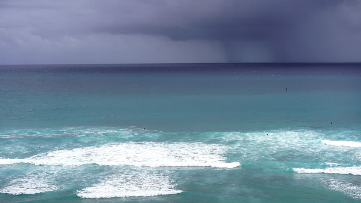

In Hawaii, Kauai and Niihau are on alert for Hurricane Lowell, a Category 3 storm, which will pass west of the islands this afternoon and evening. In Southern California, the swell from Marie, now far from the coast, continues to produce 6- to 10-foot waves and coastal flooding in Los Angeles, Orange, Ventura, and San Diego. On the mainland, the heart of the country is enduring heat indices of 105 to 110 °F on the Plains, Iowa faces a risk of flooding following Sunday's rains, and an upper-level system is bringing unstable conditions and downpours to Montana and the Rockies.
Kauai and Niihau on alert for Hurricane Lowell
Hawaiian authorities have urged residents and visitors on Kauai and Niihau to prepare for heavy rain, flooding, and landslides. The advisory comes as Category 3 Hurricane Lowell made landfall in the Pacific on Sunday, about 520 miles southwest of Honolulu.
The National Hurricane Center forecasts that the storm will graze the westernmost islands beginning Monday night and that its center will pass over the Papahanaumokuakea Marine National Monument, west of the main archipelago. Lowell reached Category 5 status earlier this week and is now producing winds of 121 mph; as of the latest update, it was located about 535 miles south-southwest of Lihue and moving north at 6 mph. It is expected to turn northwest later and lose strength by Wednesday.
It is one of three active storms in the Pacific, during an El Niño event that has warmed those waters.
Alerts for indirect effects of Hurricane Marie in Southern California
Although Hurricane Marie remains far from the coast, its outer bands continue to affect the southern California coastline on Monday. The National Weather Service has issued high-surf and coastal flooding advisories through 11 p.m. Tuesday for beaches in Los Angeles, Orange, Ventura, and San Diego counties.
Waves of 6 to 10 feet are expected on south- and southwest-facing beaches, with dangerous rip currents and a risk of minor coastal flooding in low-lying areas and along boardwalks. Communities such as Long Beach, Malibu, and Seal Beach have already seen water overtopping levees and flooding streets and parking lots.
Inland, rainfall associated with Marie's moisture is mostly light (around 0.25 inches or less in the Los Angeles area), with up to 0.5 inches or more at the foothills and in the mountains. The probability of thunderstorms is low (10–15%), but not zero.
Moderate risk of excessive rainfall in Iowa
The NWS Weather Prediction Center (WPC) upgraded on Sunday to moderate risk of excessive rainfall in western Iowa, due to severe thunderstorms that could bring more than 5 inches of rain.
Flood advisories are in effect through Monday night.
Heavy rain in the West and a slight risk in Montana
West of the Rockies, a deep upper-level trough is moving into the western U.S., bringing cool but unstable weather. Today, there is a risk of heavy rain in southern Nevada and central Utah, where a southerly flow is channeling moisture from Hurricane Marie toward a slow-moving front.
Urban areas, dry riverbeds, and fire scars are the most vulnerable to flooding.
Oppressive heat in the central United States; cool weather in the Northeast and on the West Coast
Under the trough of high pressure, the West will see temperatures 10 to 25 °F below normal, with sub-freezing lows at high elevations as far south as northern California and the Sierra Nevada peaks. In contrast, the heart of the country will remain under a relentless high-pressure ridge, with heat indices of 105 to 110 °F and very warm nights in the south-central Plains and the Mississippi Valley through Labor Day and into the workweek.
To the east of the front, the Northeast and the Mid-Atlantic will get a break: highs in the mid-70s and low 80s and lows in the 40s and 50s, with the first hint of fall in New England.
🛠 Do you think there is an error in this article?
Recommendations








LATEST