







Edouard weakens over Texas, posing a flood risk, while extreme heat persists in the central and eastern parts of the country
Edouard weakens to a tropical depression in southeastern Texas, with winds of 35 mph and a band of 3 to 9 inches of rain that continues to pose a flood risk.
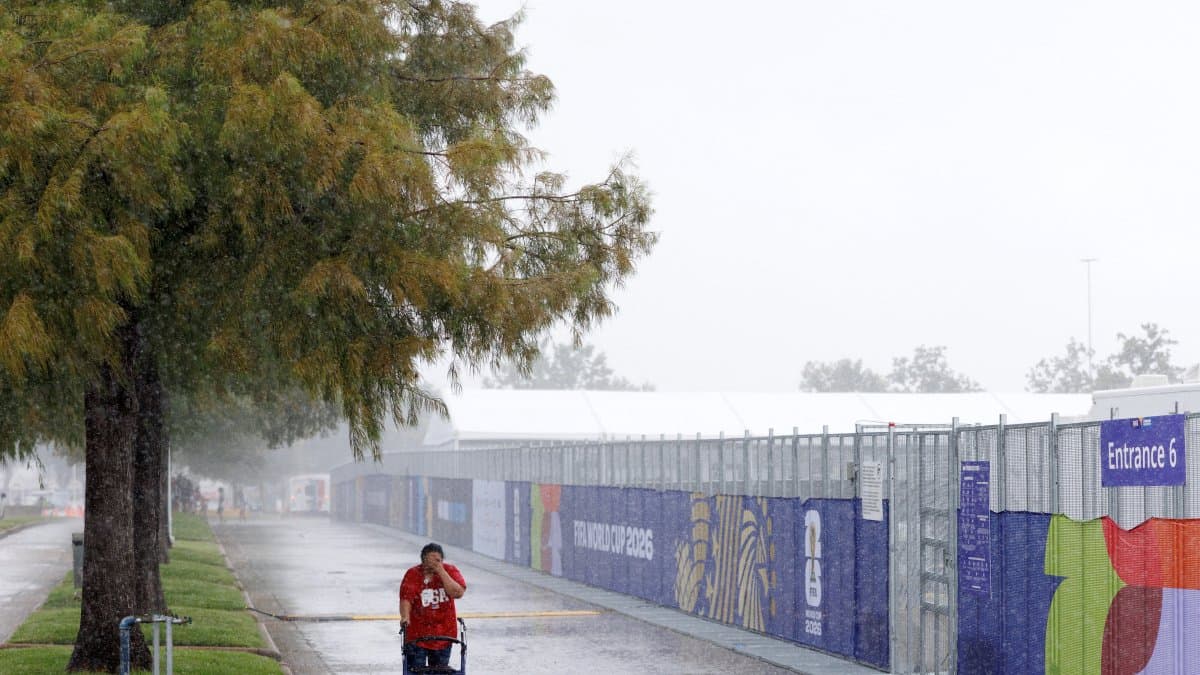

September begins with a mixed weather picture. Tropical Storm Edouard made landfall Tuesday afternoon near Johnson Bayou, in southwestern Louisiana. Overnight, it weakened to a tropical depression and, according to this morning's reports, is now inland in southeastern Texas, with winds of about 35 mph.
Elsewhere in the country, a stationary front is maintaining the risk of torrential rain and severe storms from the Great Lakes to the Mid-Atlantic, the Pacific Northwest is experiencing cooler air, and the central and southern parts of the country remain under late-summer heat.
Edouard weakens, and the threat shifts from winds to flooding
Edouard made landfall on Tuesday near Johnson Bayou, Louisiana, with sustained winds of about 60 mph. In the hours that followed, it moved northwestward, crossed into southeastern Texas, and weakened to a tropical depression overnight. According to this morning's bulletins, it is located inland in southeast Texas, with winds of about 35 mph. It is expected to weaken to a low-pressure remnant on Wednesday afternoon and evening and dissipate on Thursday.
Tropical storm conditions along the coast have already subsided. What remains is a spell of heavy rain along its path: a narrow corridor of 3 to 6 inches, with local maximums of up to 9 inches from the Texas coast into the east-central part of the state. In southwestern Louisiana, rainfall amounts will be lower, ranging from 2 to 4 inches.
The Weather Prediction Center maintains a risk of excessive rainfall along that corridor. There is a threat of flash flooding, especially in urban areas and low-lying areas, and river flooding cannot be ruled out.
Thousands of customers remain without power in southeast Texas
Entergy Texas activated its emergency operations center. Frank Shannon, vice president of Reliability, said that crews are assessing damage, repairing lines, and restoring service "as soon as it is safe to do so." The outages were caused by a combination of strong winds, torrential rain, and flooding, which knocked down trees and power lines and complicated repair efforts.
With Edouard now downgraded to a tropical depression and moving inland, power outages are expected to gradually subside throughout Wednesday, although full restoration may take longer in areas most affected by flooding and damage to the power grid.
Repeated rain and risk of severe storms in the Great Lakes and Mid-Atlantic
A low-pressure system over southern Canada is pushing a front eastward across the Great Lakes. From this system, a stationary front extends southeastward, maintaining a corridor of showers and embedded thunderstorms from the southern Great Lakes to the northern Mid-Atlantic. Repeated rounds of precipitation are expected in that area over the next couple of days, with a risk of excessive rainfall and severe weather that will gradually move southward and further into the Mid-Atlantic on Thursday.
Further west, in the north-central plains, additional rounds of thunderstorms are also forecast, associated with an undulating front and a low-pressure trough. These storm cells will move west to east toward the upper Midwest, with a threat of severe storms on Wednesday in north-central Montana.
The Northwest is cooling, and the monsoon is moving toward Arizona and New Mexico
A relatively deep upper-level trough for late summer will move into the Pacific Northwest and bring unstable weather inland across the Intermountain West. In the high elevations of southern Oregon , sub-freezing temperatures cannot be ruled out on Thursday morning. A couple of inches of rain may fall in the coastal mountain ranges, with lighter amounts in the valleys.
At the same time, that trough will help push the next wave of monsoon moisture from Mexico toward Arizona and New Mexico on Thursday. The Weather Prediction Center has issued a slight risk of excessive rainfall in southern Arizona that day.
The heat persists and spreads eastward
In contrast to the cooling in the Northwest, late-summer heat persists in the Central Plains, with highs exceeding 100 °F. That heat will continue to spread eastward. On Wednesday afternoon , highs of 90 to 100 °F are expected in the inland Mid-Atlantic region .
Heat advisories are in effect across much of the central-eastern United States, the Deep South, and parts of the Mid-Atlantic. In the middle Mississippi Valley, excessive heat warnings are in effect, with heat indices potentially reaching 110 °F during the day. Several local offices have extended or issued heat advisories for Wednesday and, in some cases, through Friday.
🛠 Do you think there is an error in this article?
Recommendations









LATEST