







Tropical Storm Edouard moves toward Texas as a trough triggers rain alerts in Northeast
The U.S. National Weather Service forecasts that Edouard, currently a tropical storm, will move northwestward and make landfall in southeastern Texas, weakening by Wednesday morning to a tropical depression and dissipating completely that same night.
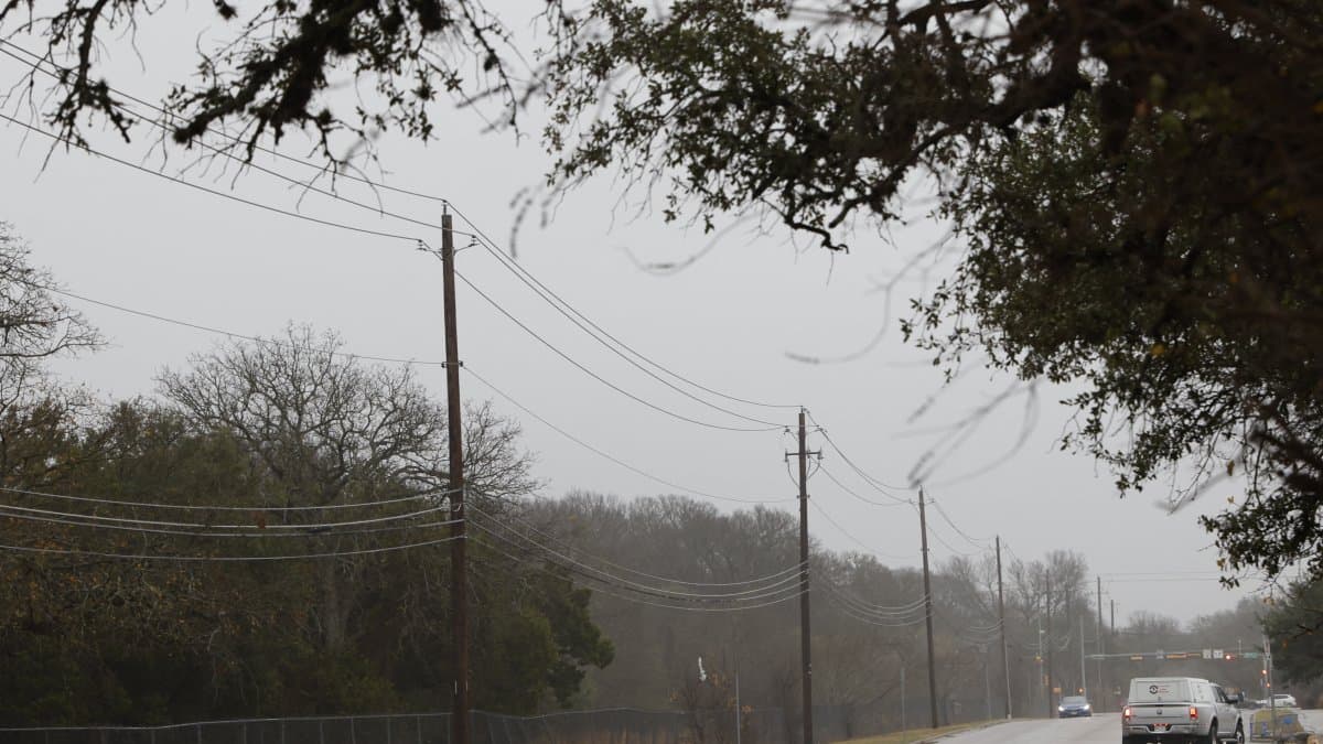

Tropical Storm Edouard is moving toward southeastern Texas, where it will lose strength, downgrading to a tropical depression on Wednesday and dissipating that same night, in a weather scenario that puts the Gulf Coast and the northeastern United States at risk of torrential rains, with intense heat on the way over the Mississippi River basin.
Edouard, heading toward Texas
The U.S. weather forecasting agency forecasts that Edouard, currently a tropical storm, will head northwest and make landfall in southeastern Texas, weakening by Wednesday morning to become a tropical depression and dissipating completely that same night.
On Tuesday and Wednesday, the system will bring torrential rains to the central and western Gulf Coast. Therefore, the Weather Prediction Center (WPC) maintains a slight risk (level 2 out of 4) of excessive rainfall in those areas. The rainfall totals could cause localized flash flooding, with urban areas, roads, small creeks, and low-lying areas being the most vulnerable.
Severe storms in the central United States
At the same time, a frontal system that on Tuesday extends from the northeast to the Great Lakes and the middle Mississippi River basin will slowly move eastward on Wednesday and Thursday. Its passage will bring heavy rain to the Lower Great Lakes and the Northeast, so a slight risk (level 2 of 4) of excessive rainfall also applies to that region, with the same pattern of localized flooding in urban areas, on roads, and in low-lying areas.
On Wednesday, the formation of heavy showers and severe thunderstorms between the Lower Great Lakes and the mid-Atlantic coast will prompt the Storm Prediction Center (SPC) to issue a mild risk (level 2 of 5) for severe thunderstorms from Wednesday through early Thursday morning . Associated hazards include frequent lightning, very strong wind gusts, hail, and the possibility of a tornado. In addition, showers and thunderstorms are expected along the coast—from the Southeast and Florida to the central and western Gulf—through Thursday.
Monsoon humidity and rain in the northwest
Monsoon moisture will ease slightly on Tuesday, though it will continue to bring showers with moderate to heavy rain over the Great Basin, the southwest, and the central and southern Rockies. As a result, the WPC indicates a marginal risk (Level 1 of 4) of excessive rainfall in that area.
In the far northwest, a front will approach the coast on Tuesday, intensifying the rain that will spread inland toward the northern Interior Mountains on Tuesday afternoon and continue through the middle of the week.
Heat intensifies in the Mississippi Valley
Finally, heat will intensify over the middle Mississippi River basin and the central and southern Great Plains on Tuesday, spreading toward the Ohio and Tennessee valleys and the mid-Atlantic coast between Wednesday and Thursday. In response, authorities have already issued heat advisories for the middle and lower Mississippi River basins and the Ohio River Valley.
🛠 Do you think there is an error in this article?
Recommendations









LATEST