






Texas and Louisiana on alert as Edouard approaches: Torrential rains and hurricane risk
The tropical storm is moving toward the Gulf Coast on Tuesday. Forecasts warn of heavy rain, strong wind and dangerous storm surges near the border between the two states.
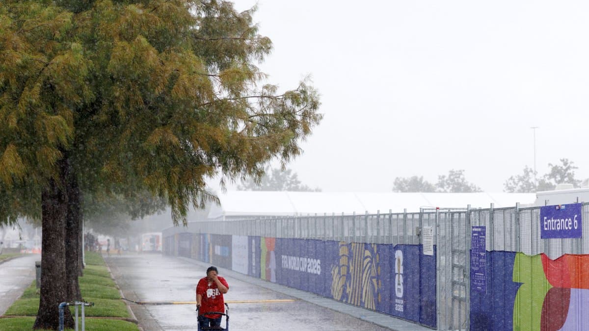

Tropical Storm Edouard is threatening the coasts of Texas and Louisiana, where it could strengthen before making landfall. The National Hurricane Center (NHC) forecasts that the system will reach the coast later today and weaken rapidly as it moves inland, according to the Associated Press.
Possible strengthening before making landfall
Edouard reached sustained winds of 50 miles per hour, according to a 9 a.m. update reported by Beaumont Enterprise. Warm waters and atmospheric conditions are contributing to its intensification, so it could approach the strength of a hurricane before making landfall.
Authorities issued a hurricane watch for coastal areas between High Island, Texas, and Cameron, La., as well as tropical storm and storm surge warnings.
🚨 RAINFALL & FLOODING THREAT: Tropical Storm #Edouard is expected to produce heavy rains, with @NWSWPC highlighting a risk of flash flooding for SE Texas & extreme SW Louisiana. Flash flooding is likely in low-lying/urban areas, with river flooding also possible.
🌧️ Forecast… pic.twitter.com/tKArhmXBwh
Flooding, one of the main threats
The forecast calls for between 3 and 6 inches of rain, with isolated totals of up to 9 inches, in coastal and central-eastern Texas. This rainfall could cause flash flooding, according to the NHC, as cited by the AP.
In the Houston area, concerns are particularly focused east of Interstate 45. The Houston Chronicle also warns of potentially life-threatening coastal flooding in areas under a storm surge advisory.
Although winds are expected to weaken after making landfall, rain could prolong the risk of flooding over the next few days. Authorities urge residents to follow local guidance and evacuation orders where issued.
🛠 Do you think there is an error in this article?
Recommendations







LATEST