Two hurricanes dominate the Pacific: Genevieve reaches category 5, and Fausto threatens Hawaii with dangerous waves
The first Category 5 hurricane of the season in the eastern Pacific is strengthening off the coast of Mexico without posing a direct threat to the mainland. Meanwhile, Fausto continues to weaken near Hawaii, where authorities are warning of waves up to 4.5 meters high, rip currents, and the risk of isolated flooding.
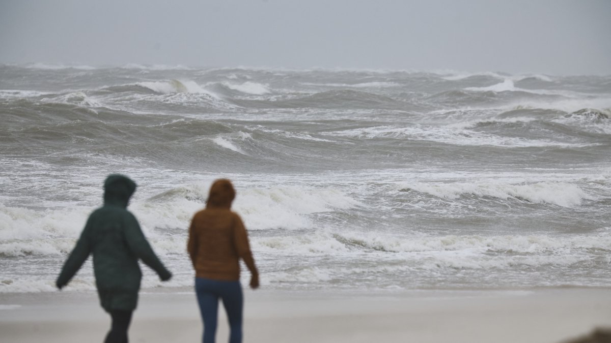
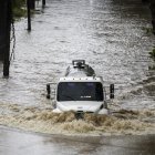
A storm lashes the coast (File photo)

The Pacific hurricane season continues to intensify with two significant active systems. While Hurricane Genevieve briefly reached Category 5—the highest on the Saffir-Simpson scale—Hurricane Fausto is moving north of the archipelago of Hawaii, where, despite weakening, it continues to cause dangerous sea conditions.
According to the National Hurricane Center (NHC), on Monday, Genevieve became the first Category 5 hurricane recorded in the eastern Pacific since 2024, reaching maximum sustained winds of up to 160 mph (257 km/h) during its peak intensity.
Although it subsequently lost some strength and weakened slightly, the system remains a major hurricane, with sustained winds near 150 mph (241 km/h), as it moves northwestward over open water.
No direct threat to Mexico, but with dangerous waves
As of Monday, the center of Genevieve was located about 810 kilometers south-southwest of the southern tip of the Baja California Peninsula, moving northwest at approximately 21 km/h.
Track models continue to indicate a favorable scenario: the storm will follow a path nearly parallel to the Mexican coast, and no direct landfall is expected.
However, the NHC warned that the powerful system is already generating large waves and potentially deadly rip currents affecting Mexico's southwest coast and extending southward along the Baja California Peninsula.
Authorities recommend that swimmers, fishermen, and small boats exercise extreme caution due to the intense waves generated by the hurricane.
A gradual weakening is expected throughout the week
Experts anticipate that Genevieve will experience normal fluctuations in intensity over the next few days due to so-called eye wall replacement cycles, a common process in extremely intense hurricanes.
As it moves into less favorable waters, it is expected to gradually weaken until it once again becomes a tropical storm by the end of the week.
Despite this, it will continue to generate swells that could spread hundreds of kilometers away and affect coastal areas of the Mexican Pacific and even parts of the western coast of North America.
Society
Breather for the Atlantic: Forecasters predict calmest hurricane season in 13 years
Diane Hernández
Fausto loses strength, but keeps Hawaii on alert
Meanwhile, Hurricane Fausto continues to move west-northwest and is expected to pass north of the Hawaiian archipelago between Tuesday and Wednesday.
After reaching Category 2 status over the weekend, Fausto weakened to a Category 1 hurricane, with maximum sustained winds near 80 mph (120 km/h).
Although the center of the system will remain far from the islands, meteorologists warn that its indirect effects will be significant, particularly in terms of sea conditions.
Waves up to 4.5 meters and strong rip currents
The National Weather Service (NWS) and the National Hurricane Center have issued a high-surf advisory for all east-facing coasts of Hawaii.
Forecasts indicate that waves could reach up to 4.5 meters (15 feet) in some areas, especially between Monday afternoon and Tuesday.
These conditions significantly increase the risk of:
- dangerous rip currents;
- large breaking waves;
- difficult navigation for small boats;
- danger to swimmers and surfers.
Authorities recommend avoiding entering the water at the most exposed beaches while adverse conditions persist.
There is also an increased risk of isolated rain and flooding
In addition to the heavy swells, Hawaiian meteorologists are monitoring a shift in the atmospheric pattern caused by Fausto.
The cyclone's passage will temporarily disrupt the traditional trade winds and bring kona winds from the south and southeast, capable of carrying increased tropical moisture toward the islands.
As a result, the NWS forecasts an increase in rainfall between Tuesday and Wednesday night, with the possibility of isolated flooding in various parts of the archipelago, although a widespread event is not expected.
A season driven by El Niño
AccuWeather meteorologists note that Genevieve has become the most powerful hurricane recorded this year in the Pacific waters surrounding North and Central America, while Fausto confirms the high activity forecast for the 2026 season.
For now, neither system poses a direct threat to densely populated areas. However, both continue to be closely monitored by meteorological agencies due to the risks associated with heavy swells, ocean currents, and rainfall they can produce even when the center of the cyclone remains far from land.
LATEST