Weather forecast: Snow in California, severe thunderstorms in central and eastern US
Between Monday night and Tuesday morning, precipitation in the Pacific Northwest and northern Rocky Mountains will begin to taper off. However, as the system moves into the Southwest and the Four Corners region, scattered showers and snowfall are expected at elevated areas.
NWS forecasts heavy snowfall beginning Friday.

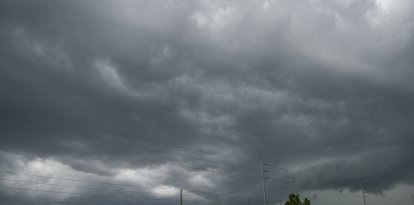
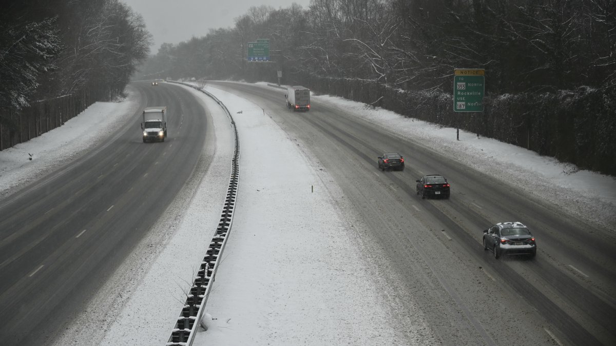
The National Weather Service issued a short-term forecast valid from this Sunday, April 12, through Tuesday, April 14, 2026, highlighting adverse weather conditions in several regions of the country.
An active low pressure system entered California during the early hours of this Sunday morning, causing significant conditions. The Sierra Nevada could receive up to an additional 2 feet of heavy snow, while lower elevations are expected to receive up to 1 inch of rainfall accompanied by gusty winds. This precipitation will spread rapidly inland, affecting the Great Basin and the interior Pacific Northwest through Monday.
Between Monday night and Tuesday morning, precipitation in the Pacific Northwest and northern Rocky Mountains will begin to diminish. However, as the system moves into the Southwest and the Four Corners region, scattered showers and snow showers are expected at high elevations.

Just The News
Man with machete injures 3 people at NYC's Grand Central, fatally shot by police
Just The News/ Nicholas Ballasy
In the center of the country, another low-pressure system will move across the northern Plains before merging with a cold front extending into the Great Lakes on Monday. During this Sunday, strong to severe thunderstorms, accompanied by heavy rain, are expected from the upper Midwest to the Great Lakes region. Part of this precipitation will reach northern New England overnight and into Monday before weakening.
On Monday, the threat of severe weather will continue across central Texas, while a new area of risk will develop in the upper Midwest due to a disturbance along a front. These conditions will move eastward between Monday night and Tuesday morning, once again affecting the Great Lakes region.
Temperatures
LATEST