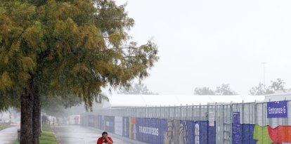
High winds and frigid temperatures will produce dangerous wind chills in the Northeast and Mid-Atlantic this weekend
Although snowfall amounts will be light in many areas, intense gusts associated with the cold front could generate brief bursts of heavy snow leading to sudden hazardous driving conditions.
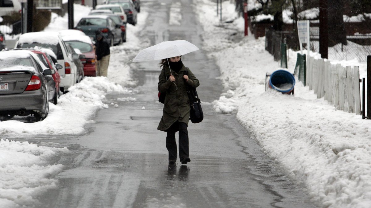
Somerville, Mass.

A fast-moving low-pressure system advancing over the Great Lakes into the Northeast and the Appalachians will bring widespread light to moderate snowfall on Friday. According to the National Weather Service, most accumulations will range between 1 and 3 inches, with locally higher totals expected downwind of Lakes Erie and Ontario, as well as across the central and southern Appalachians.
Snow will continue in the New England coastal region on Saturday, with moderate accumulations that could reach 4 to 5 inches. The passage of the system will be accompanied by very strong winds,with gusts that could reach 60 mph, especially in theMid-Atlantic.
Although snowfall amounts will be light in many areas, the intense gusts associated with the cold front could generate brief bursts of heavy snow causing sudden hazardous driving conditions.
In addition, The NWS reports that an extremely cold air mass will follow the front, with maximum temperatures forecast for Saturday dropping to single digits or values between 10 and 20 degrees Fahrenheit. The combination of frigid temperatures and strong winds will generate dangerously low wind chills, as low as -30 in parts of the interior Northeast and New England, and negative single digits or in the teens near the coast from Saturday morning through Sunday morning. These wind chills will pose a potentially life-threatening risk of hypothermia and frostbite on exposed skin.
Moderate to locally heavy rain in the Northwest and West
Separately, according to the National Weather Service, a series of systems from the Pacific will bring increased moisture flow - including anatmospheric river - to western Washington on Friday and the rest of the Pacific Northwest on Saturday. Moderate to locally heavy rain is forecast, especially in the Olympics Mountains, where some isolated flooding will be possible. The higher elevations of the Cascades will receive snowfall.
Moisture will move inland into the northern Great Basin and Northern Rockies basin between Saturday and early Sunday, with scattered showers in the lower elevations and snow in the mountains.
Elsewhere, very scattered showers and thunderstorms are expected between Saturday and early Sunday in parts of southwestern and western Texas ahead of an approaching low aloft.
What is an atmospheric river?
These atmospheric rivers are responsible for some of the most extreme precipitation events on the west coast of the United States, and can cause flooding, river overflows and landslides due to the enormous volume of water they discharge in a short time.
Freezing cold in the East and lingering warmth in the West
Conditions will remain cold across much of the country following the passage of a series of cold fronts. Expected maximum temperatures will generally range between 20 and 30°F in the Ohio, 40 and 50°F in the Southeast and 60°F in Florida.
Meanwhile, a strongly marked atmospheric ridge in the West will maintain well above normal temperatures across much of the Central and West of the country. The most prominent anomalies are expected in areas of the Northern Plains and Center, where highs will reach 50, 60 and even 70°F, between 30 and 40 degrees above typical early February values.
In the interior West, highs will range between 40 and 60 °F, while in the Southern Plains, Southwest and California are forecast 60, 70 and up to some 80 °F. The Pacific Northwest will remain closer to normal values due to the arrival of the Pacific system, with highs mainly in the 50 °F.
The Missississippi will have a cooler Friday, with highs in the 20 and 30°F in the north and 40and 50°F in the south. Conditions will ease on Saturday, with temperatures 10 to 15 degrees higher.
LATEST