Extreme cold and heavy snowfall: Nation braces for historic winter storm
Heavy snow, crippling ice and several days of hazardous travel conditions are expected for more than 245 million people from Arizona to Maine over the weekend. In addition, more than 190 million people are under winter weather alerts and more than 3,200 flights have been canceled nationwide since Saturday morning.
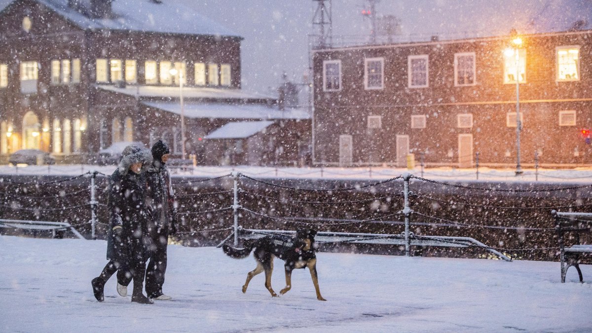
Winter storm in Boston - File Image.

According to the National Weather Service (NWS), a high-pressure system descending from central Canada will cause a marked drop in temperatures in the Plains, the Great Lakes region and the Northeast and central Atlantic.
While a low pressure remains over the Gulf Coast, a second low pressure system will move northeastward along the southeast coast and central Atlantic through Sunday.
The system will result in a high-intensity, long-duration winter storm. According to Fox Weather, the conditions will extend from the southwest to the northeast and New England, leaving behind a dangerous combination of severe winter phenomena along a 2,300 miles, which could cripple major transportation hubs in the United States and cause widespread power outages.
Heavy snow, crippling ice and several days of hazardous travel conditions are expected for more than 245 million people from Arizona to Maine over the weekend. In addition, more than 190 million people are under winter weather alerts, and more than 3,200 flights have been canceled nationwide since Saturday morning.
Fox also reported that states of emergency have already been declared in the following states: Arkansas, Louisiana, Mississippi, Alabama, Tennessee, Georgia, South Carolina, North Carolina, Missouri, Kansas, Kentucky, West Virginia, Virginia, Maryland, Delaware, Pennsylvania, New York, New Jersey and Washington, D.C.
Snowfall in excess of 12 inches
Snowfall is forecast to exceed 12 inches in the Ohio Valley, mid-Atlantic and northeast, which will generate widespread travel disruptions. In addition, according to the NWS forecast, widespread freezing rain and sleet are expected across the southern Plains, the lower Mississippi Valley, the Tennessee Valley and the Southeast.
The storm is expected to leave significant ice accumulations with risk of extended power outages and extremely hazardous travel conditions.
Following the system's passage, communities from the southern Plains to the Northeast will face very cold temperatures, creating lingering transportation risks and affecting infrastructure.
Snowfall in the Great Lakes and Plains
In addition, heavy lake-effect snowfall is expected in the Great Lakes region Friday through early Saturday morning. On Sunday, heavy snowfall associated with the storm in the Ohio Valley will gradually move into the region. On the other hand, upflow will generate snowfall in areas of the northern and central Plains through early Saturday.
Also, an upper-level low advancing into northwestern Mexico will produce rain in low-lying areas and snowfall in southwestern mountainous areas between Friday and Saturday.
What is lake-effect snowfall?
How do they form?
- Cold, dry air moves over a lake whose surface is warmer.
- The lake brings moisture and warmth to the air.
- That mixture causes the air to become unstable and rise.
- As it rises, moisture condenses and forms very active cloud bands.
- When these bands reach land, they discharge heavy and localized snowfall.
Why are they so intense?
Because the lake acts as a “moisture factory,” continually feeding clouds as long as cold air continues to pass overhead. This can generate very large snow accumulations in relatively small areas.
LATEST