Hurricane 'Helene' strengthens to Category 4 as it makes landfall in Florida
Authorities reported winds of at least 140 mph in Perry, a city located in Taylor County.
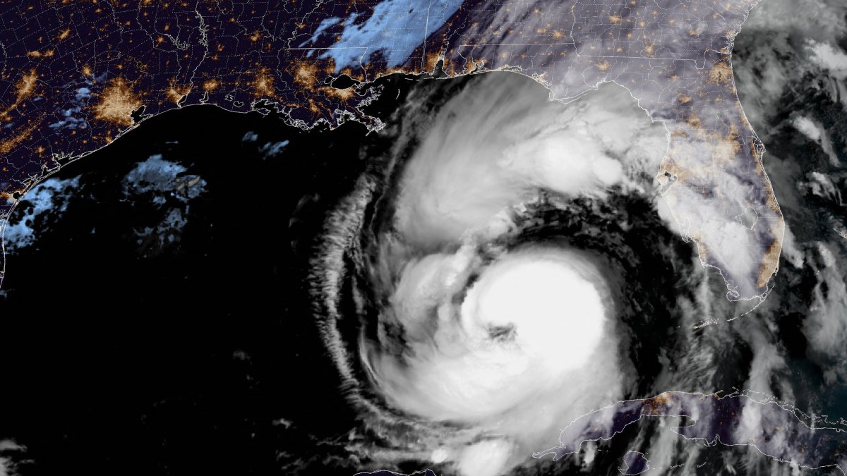
Image obtained from NOAA shows Hurricane Helene on September 26, 2024

Hurricane Helene became a Category 4 storm Thursday just before making landfall on Florida's northwest coast. Forecasters warn that 140 mph winds could lead to a storm surge which will bring dangerous winds and rain to much of the southeastern United States.
According to authorities, on its final approach to the Big Bend region, Helene triggered a potentially "insurmountable" 20-foot storm surge.
At exactly 23:10 local time, the National Weather Service in Tallahassee reported that Hurricane Helene made landfall in the Big Bend, near Perry, a city located in Taylor County.
9/26/24 11:10 PM EDT
— NWS Tallahassee (@NWSTallahassee) September 27, 2024
Hurricane Helene has made landfall in the FL Big Bend near Perry, FL as a Category 4 with 140 mph winds.
We're not out of the woods yet:
An Extreme Wind Warning is now in effect for Thomas, Brooks, and Lowndes Counties in Georgia.#FLwx #GAwx pic.twitter.com/xtRxFOkPpv
Earlier, the Taylor County Sheriff's Office in Big Bend, Florida, asked residents to obey mandatory evacuation orders. In turn, those who chose not to evacuate were urged to write their name and other key information with a permanent marker on their arms or legs in case of an emergency for rescue efforts.
In its most recent update, the National Hurricane Center (NHC) informed the public that Hurricane Helene is very close to making landfall in Florida's Big Bend and is "accompanied by catastrophic storm surge and potentially deadly winds."
Hurricane #Helene Advisory 15: Hurricane Helene Very Close to Making Landfall in the Florida Big Bend. Accompanied By a Catastrophic Storm Surge and Life-Threatening Winds. https://t.co/tW4KeGe9uJ
— National Hurricane Center (@NHC_Atlantic) September 27, 2024
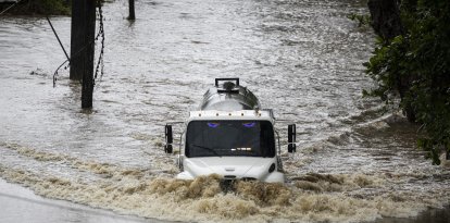
At the moment, high winds have already left more than 600,000 homes and businesses in Florida without power, according to the tracking site poweroutage.us.
The governors of Florida, Georgia, Alabama, the Carolinas and Virginia declared emergencies in their states.
Hurricane and flash flood warnings additionally extended well beyond the coast, reaching as far north as Georgia and western North Carolina.
The National Weather Service in Tallahassee also issued an "extreme wind warning" for the Big Bend region on X as the eye wall approached: "Treat this warning as you would a tornado warning - seek shelter in the innermost room and take cover!"
At the moment, the most severe flooding, with up to 20 feet of storm surge, is anticipated from Carrabelle to the Suwannee River in Florida.
Other locations, such as Apalachicola and Chassahowitzka, are also expected to see storm surges of 10 to 15 feet.
Hurricane Helene comes just a year after Hurricane Idalia struck Florida's Big Bend coast, leaving significant damage.
Idalia, like Helene, became a Category 4 hurricane in the Gulf of Mexico, but made landfall as a Category 3 with maximum sustained winds of about 125 mph (205 kph). According to forecasters, Helene will potentially be stronger.
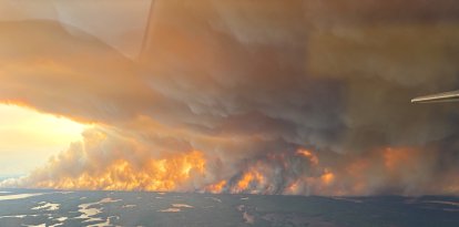
The storm, in fact, has already begun to wreak havoc, with sustained tropical storm-force winds and hurricane-force gusts along Florida's west coast, according to AP.
"Water lapped over a road in Siesta Key near Sarasota and covered some intersections in St. Pete Beach. Lumber and other debris from a fire in Cedar Key a week ago crashed ashore in the rising water," the agency reported.
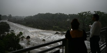
Meanwhile, up to 10 inches (25 centimeters) of rain fell in the North Carolina mountains. In addition, another 14 inches (36 centimeters) is expected.
Meteorologists warned that this could lead to some of the most severe flooding in the last century.
At the same time, heavy rains and winds were increasing in Valdosta, Georgia, near the Florida state line.
The weather service reported that in more than a dozen counties in Georgia hurricane-force winds will exceed 110 mph.
LATEST