





The UN adopts a reform of global cartography that better reflects reality
This resolution, supported in particular by the countries of the European Union, was adopted by a vote of 164 in favor, one against (the United States) and six abstentions.
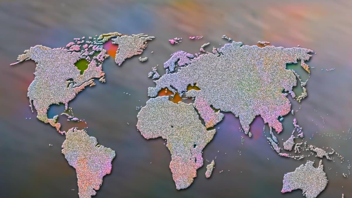

The UN General Assembly adopted a resolution on Friday to promote a world map that more accurately reflects the actual size of the continents, presented by Togo and several African countries.
This resolution, supported in particular by the countries of the European Union, was adopted by a vote of 164 in favor, one against (the United States) and six abstentions.
The resolution seeks to encourage international organizations and states to use Equal Earth projections.
This cartographic system moves away from the Mercator projection, named after Gerardus Mercator, a geographer, cartographer, philosopher and theologian born in Flanders in 1512.
His map of the planet was designed for maritime navigation and artificially enlarges territories located at high latitudes.
"Maps shape our understanding of the world," declared Togo's Minister of Foreign Affairs Robert Dussey, from the podium.
"They guide education, fuel the imagination and influence collective perceptions. Therefore, they are never neutral: when they present a distorted image of our planet, they risk perpetuating misrepresentations passed down from generation to generation."
The Mercator projection
This projection enlarged the northern regions and compressed the equatorial ones, making Europe and North America appear much larger, while reducing the size of Africa and South America.
In 2018, a group of cartographers launched the Equal Earth projection, in which Africa, Latin America, South Asia and Oceania appear much larger.
Equal Earth preserves the relative areas of the continents
"Equal Earth preserves the relative areas of the continents and, as much as possible, shows their shapes as they appear on a globe," Bojan Savric, one of the cartographers, told AFP in 2025.
On a Mercator projection, "the United States, Russia, and China take on a disproportionate visual prominence compared to Africa, Latin America, or Southeast Asia," while "Greenland appears almost as large as Africa," noted Jean-Noël Barrot, France's Minister of Foreign Affairs, who co-sponsored the initiative.
"Changing the map, obviously, doesn't change the world," he said. "But correcting a distorted representation is already an act of truth."
🛠 Do you think there is an error in this article?
Recommendations
LATEST