







Bad weather hits several regions: Heavy rain in Texas and snowfall in the Northwest
Meteorologists are warning of possible flash floods in Texas and New Mexico, while a cold front will bring storms to the northeastern part of the country.
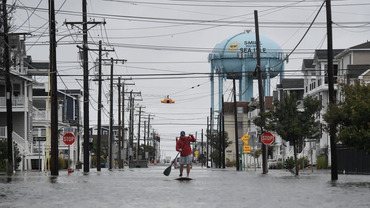
A street in the U.S. flooded after heavy rains

The National Weather Service (NWS) warned that heavy rain, storms, and snowfall in mountainous areas will characterize the weather conditions this Thursday, October 29, with unstable conditions that could last through the weekend in several regions of the country.
According to the latest short-term forecast from the Weather Prediction Center (WPC), the main concerns are concentrated in the south and southwest, where a combination of tropical moisture and low-pressure systems will lead to heavy rainfall.
At the same time, a cold front will move from the Mississippi Valley toward parts of the Northeast, while the Northwest will continue to see snow in the higher elevations of the Cascade Range and the Rocky Mountains.
Texas and New Mexico under threat of flash floods
The highest risk of heavy rain this Thursday is concentrated in parts of western and central Texas, where the WPC has assigned a level 2 out of 4—classified as "light risk"—on its flash flood threat scale.
The agency explained that the arrival of moisture from the Gulf of Mexico, combined with the atmospheric energy associated with the remnants of the Tropical Cyclone Vance, will promote the formation of storms and episodes of heavy rain.
New Mexico could also experience significant rainfall, especially in areas near western Texas.
Weather authorities warn that rainfall could accumulate rapidly in certain areas, increasing the risk of flooding on roads, in urban areas, and in vulnerable areas.
The risk forecast covers the period from Thursday morning, October 29, through Friday morning, October 30, according to Eastern Time.
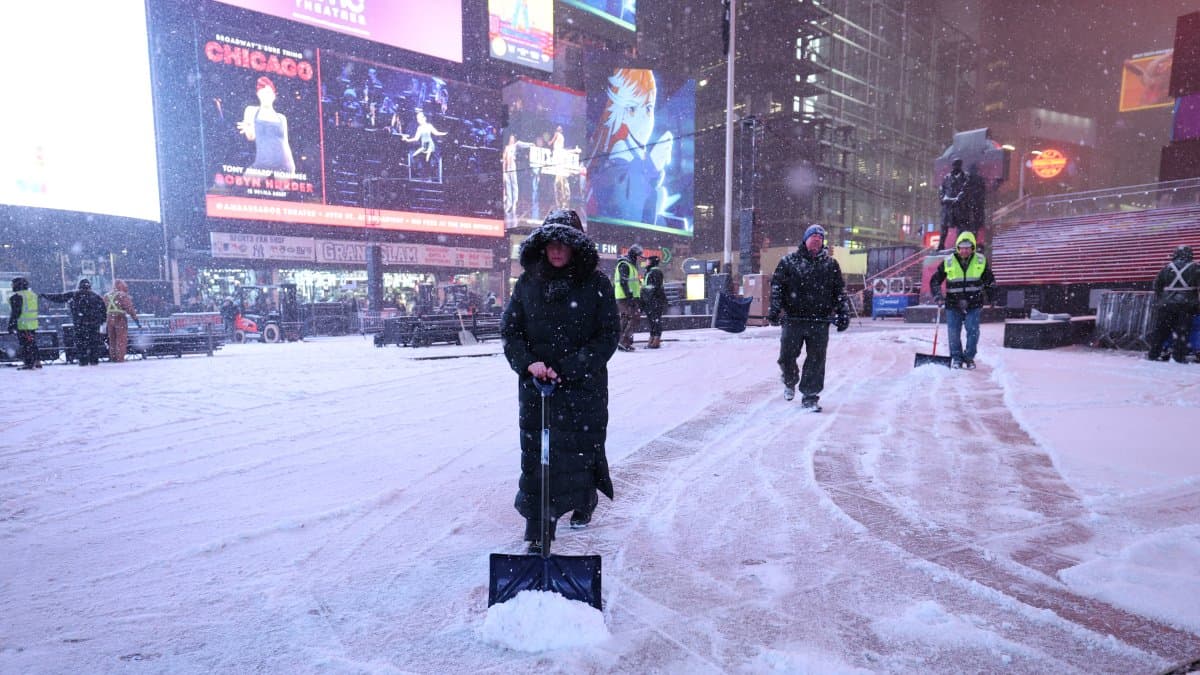
A cold front will bring rain and thunderstorms to the Northeast
Another notable phenomenon is the advance of a cold front that will bring rain and thunderstorms from the Mississippi Valley toward parts of the Northeast.
The system will continue to move eastward, causing changing conditions in the regions it passes through.
Despite the passage of this weather front, much of the eastern United States will continue to experience unusually warm temperatures for late October, according to NWS forecasts.
The official forecast identifies rain and thunderstorms as the main effects of this system, although their intensity and distribution will vary by region.
Snowfall in the Northwest Mountains
In the northwest of the country, conditions will be different. Meteorologists are forecasting more snowfall in the higher elevations of the Cascade Mountains, mainly in Washington and Oregon, as well as in parts of the northern Rocky Mountains.
Snowfall will continue at high elevations and could cause travel difficulties on some mountain passes.
According to the WPC, the snow line will generally be above 4,000 feet (about 1,220 meters), although it could drop in some areas. The agency anticipates additional snowfall in high-elevation areas of Washington and Montana.
Meanwhile, in lower-elevation areas, precipitation will mainly take the form of rain.
Arizona braces for heavy rain this weekend
The forecast also calls for worsening weather conditions in Arizona beginning Friday, October 30, when storm activity is expected to increase in central and southern parts of the state.
The Weather Forecasting Center issued a for those regions due to the arrival of abundant moisture from the Pacific.
The threat could continue through Saturday, October 31, and Sunday, November 1, with the possibility of flash floods and dangerous runoff, particularly in mountainous areas and normally dry terrain.
Meteorologists note that the system could be particularly significant due to the amount of moisture available for this time of year.
Hawaii is facing heavy rain and possible flooding
In Hawaii, the forecast also calls for heavy rain and thunderstorms on Thursday.
According to the WPC, a significant concentration of tropical moisture is contributing to rain events that could reach between one and two inches per hour locally, equivalent to about 25 to 51 millimeters.
The islands of Oahu and Maui are among the areas most likely to experience heavy rainfall, while the heaviest rains between Thursday night and Friday could be concentrated in parts of Maui and the Big Island.
The agency is monitoring the possibility of locally significant flash floods, although it forecasts a gradual decrease in rainfall over the next few days.

Society
Breather for the Atlantic: Forecasters predict calmest hurricane season in 13 years
Diane Hernández
Hurricane Season: No active cyclones in the Atlantic
On the other hand, the National Hurricane Center (NHC) reported early Thursday morning that there were no active tropical cyclones in the Atlantic, the Caribbean Sea, or the Gulf of Mexico.
In addition, the agency did not anticipate the formation of new tropical cyclones in that basin over the next seven days.
In the eastern Pacific, the NHC continued to monitor Tropical Depression Vance, located off the western coast of Mexico. In the Wednesday night advisory, the system had maximum sustained winds of approximately 35 miles per hour (55 km/h) and was expected to lose its tropical characteristics within the next 24 hours.
Although Vance was weakening, the moisture associated with the system could contribute to the expected rainfall in Texas and New Mexico.
🛠 Do you think there is an error in this article?
Recommendations








LATEST