







The NWS issues a severe storm warning for the Mississippi Valley and a flash flood warning for the Southwest
The National Weather Service is forecasting severe thunderstorms on Wednesday, heavy rain in the Southern Great Plains and the Southwest, and snowfall in mountainous areas of the Northwest through Friday.

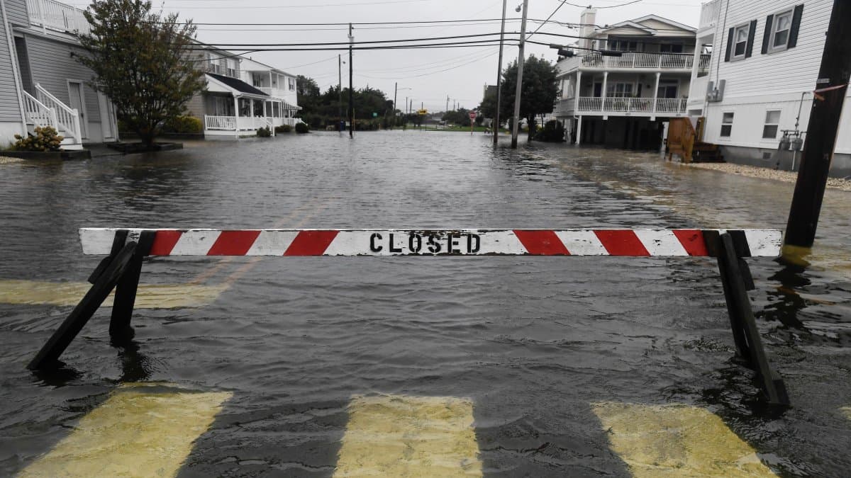
Image of the rain

The National Weather Service issued a warning about the possibility of severe thunderstorms in parts of the Upper Mississippi Valley on Wednesday, as well as heavy rain that could cause localized flash flooding in the Southern Great Plains on Thursday and in the Southwest on Friday.
The Weather Prediction Center (WPC) issued a warning of a mild risk of severe storms—level 2 on a scale of 5, for parts of the upper Mississippi Valley. It also issued a Level 2 risk on a scale of 4 for excessive rainfall in parts of the Southern Great Plains on Thursday and the Southwest on Friday.
The heaviest rains could cause localized flash flooding, especially in urban areas, on roads, in small streams, canyons, and narrow ravines, as well as in areas previously affected by wildfires.
Heavy rains threaten the Southern Great Plains and the Southwest
Moisture moving in from the Gulf of Mexico will lead to showers and thunderstorms in parts of the Gulf's western coast through Wednesday afternoon.
The arrival of atmospheric energy at high altitudes will also contribute to heavy rain in the Southern Great Plains from Wednesday night through Friday. The Weather Prediction Center has identified Thursday and Friday morning as the period of risk for excessive precipitation in this region.
In the southwest, moisture moving in from the Gulf of California will lead to showers and thunderstorms with heavy rain on Friday. Some precipitation and thunderstorms are also expected in parts of southeastern California.

Storms will move across the Midwest and the Great Lakes region
A front over the Upper Midwest will bring showers and thunderstorms to parts of the Northern Great Plains and the Upper Mississippi Valley on Wednesday afternoon. The system will then move eastward and reach parts of the Upper Great Lakes overnight.
By Thursday morning, the storms will move toward the Middle Mississippi Valley and the Central Great Plains. Additional precipitation is also expected along the front in parts of the Great Lakes region and the Middle Mississippi Valley on Thursday morning.
Rain will spread to parts of the Lower Great Lakes region this afternoon and reach parts of the northeast by Friday morning.
Snow is expected in the northwestern mountains
The NWS forecasts snowfall in the higher elevations of the Cascade Range, the northern Intermountain region, and the Northern Rockies on Wednesday.
The influx of moist air from the Pacific and a trough at high altitudes will bring light rain to parts of the northwest. While lower-elevation areas will see rain, mountainous areas will see snow through Thursday morning.
A new weather front will move northwestward on Friday morning, bringing rain and snow to high-elevation areas of the northwestern Pacific and the northern Intermountain region.
Florida will see rain and thunderstorms through Friday
The forecast from the Meteorological Prediction Center covers the period from 8:00 a.m. on Wednesday, October 28, through 8:00 a.m. on Friday, October 30, Eastern Time.
🛠 Do you think there is an error in this article?
Recommendations







LATEST


