


Snow, record heat, polar cold and tornadoes puts millions of Americans on alert
The National Weather Service warns of sudden variations of up to 60 degrees Fahrenheit in less than 24 hours and the arrival of a cold front to the south and a powerful winter storm to the west.
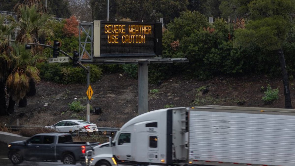
(Alerta por tiempo extremo en California, en una imagen de archivo/AFP/

Millions of Americans are on alert for extreme weather events including tornadoes, snow, intense heat and fires. Additionally, the National Weather Service (NWS) warned that a cold front will cause temperatures to plummet to 60 degrees Fahrenheit after reaching record highs in recent days.
Winter storm in the west
While several western states continue to suffer the impact of a powerful winter storm that continues to dump heavy snowfall, gusty winds and copious amounts of rain, other territories such as Texas and Oklahoma are experiencing critical conditions that favor the expansion of the fires that are ravaging both states. Although the passage of the storm will be noticeable between Wednesday and Thursday, it will be from Friday when the worst will arrive, when it reaches the northern mountains and the central area of California.
10 million people on tornado alert
Additionally, the NWS issued tornado watches affecting more than 10 million people, including Chicago, one of the cities hardest hit by the weather events. The Windy City will also go from breaking its heat record in February (67º Fahrenheit, about 19º Celsius) to a notable drop in temperatures in the coming days. These sudden swings are especially dangerous, according to the local NWS.
Strong polar cold front in the lower 48 states
A situation that the lower 48 states are also suffering, which will suffer "a strong polar cold front" according to the NWS. "After a period of record heat widespread yesterday, temperatures in some parts of the northern plains they have fallen almost 50-60 degrees after the arrival of the front, in a stark reminder that meteorological winter is still with us for two more days. This front caused critical fire conditions in the Southern Plains as it provided a combination of "very dry, hot and gusty conditions."
LATEST