Severe storms hit Kansas City: bringing flooding, weather warnings and tornado risk
More than 10 centimeters of rain fell in some parts of the metro area early Monday morning.
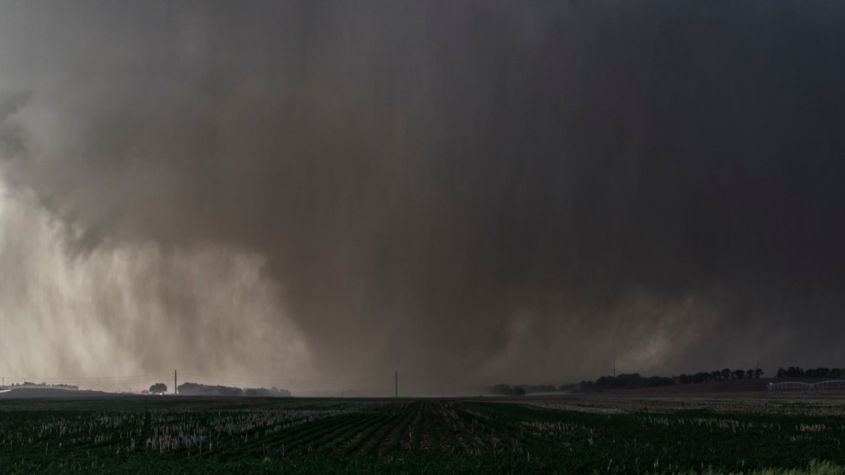
A violent wedge-shaped tornado, wrapped in rain, devastates farmland (File).

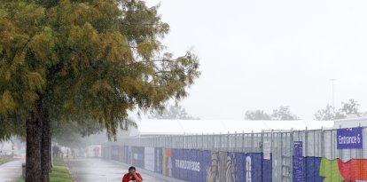
Severe storms that ripped through the Kansas City metropolitan area during the early hours of Monday morning triggered flash flooding, extraordinary rainfall accumulations and the issuance of weather warnings for several counties in Kansas and Missouri.
Authorities issued a flash flood warning for Wyandotte County, Kansas, and Clay and Platte counties, Missouri, in effect until 8:00 a.m.
According to weather reports, some northern areas of the region recorded more than 10 centimeters of rain in a few hours, which generated waterlogged streets, drainage problems and dangerous conditions for traffic.
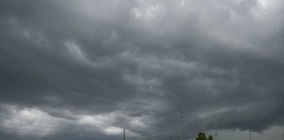
A night marked by severe weather
The day was preceded by a severe thunderstorm warning issued for the region, including the Kansas City metropolitan area. Meteorologists warned of the possibility of hail the size of tennis balls, wind gusts up to 112 kilometers per hour and isolated tornado formation.
As the night progressed, the risk of severe events increased, especially near midnight, when the most intense storms began to develop over the region.
The Storm Prediction Center (SPC) classified Kansas City and locations to the south within a severe risk level of 2 on a scale of 5.
In addition to the threat of tornadoes, authorities warned of possible urban flooding and water accumulations in low-lying areas during the early morning.
Monday will remain under watch
Although the most dangerous conditions began to dissipate around daybreak, forecasters say there is still a slight risk of severe thunderstorms during the afternoon and evening this Monday.
Maximum temperatures will reach 29 degrees Celsius, while the wind chill could be around 32 degrees due to the humidity accumulated after the rains.
Specialists estimate a probability close to 20% of new storms during the day, some of which could present severe characteristics, although the general risk remains low.

Tuesday and Wednesday will bring a lull
Between Tuesday and Wednesday, humidity will decrease considerably and maximum temperatures will remain around 27 degrees Celsius. The forecast calls for dry days with partly cloudy skies.
Showers could return by the weekend
Stability will not last long. Weather models anticipate the return of showers and thunderstorms starting Thursday.
The chances of precipitation will gradually increase towards Friday and during the weekend, when they could reach 40%. Although a severe episode of great magnitude is not expected for now, experts do not completely rule out isolated intense phenomena.
In the meantime, authorities are advising residents to keep an eye on weather updates and official alerts for the possibility of additional storms in the coming days.
LATEST