







Warnings issued about the risk of flash floods and severe storms in several regions of the country
The U.S. Southwest is facing the possibility of severe flash flooding, while the Great Plains are bracing for strong winds, rain, and thunderstorms. Florida also remains at risk of heavy rainfall through Monday.

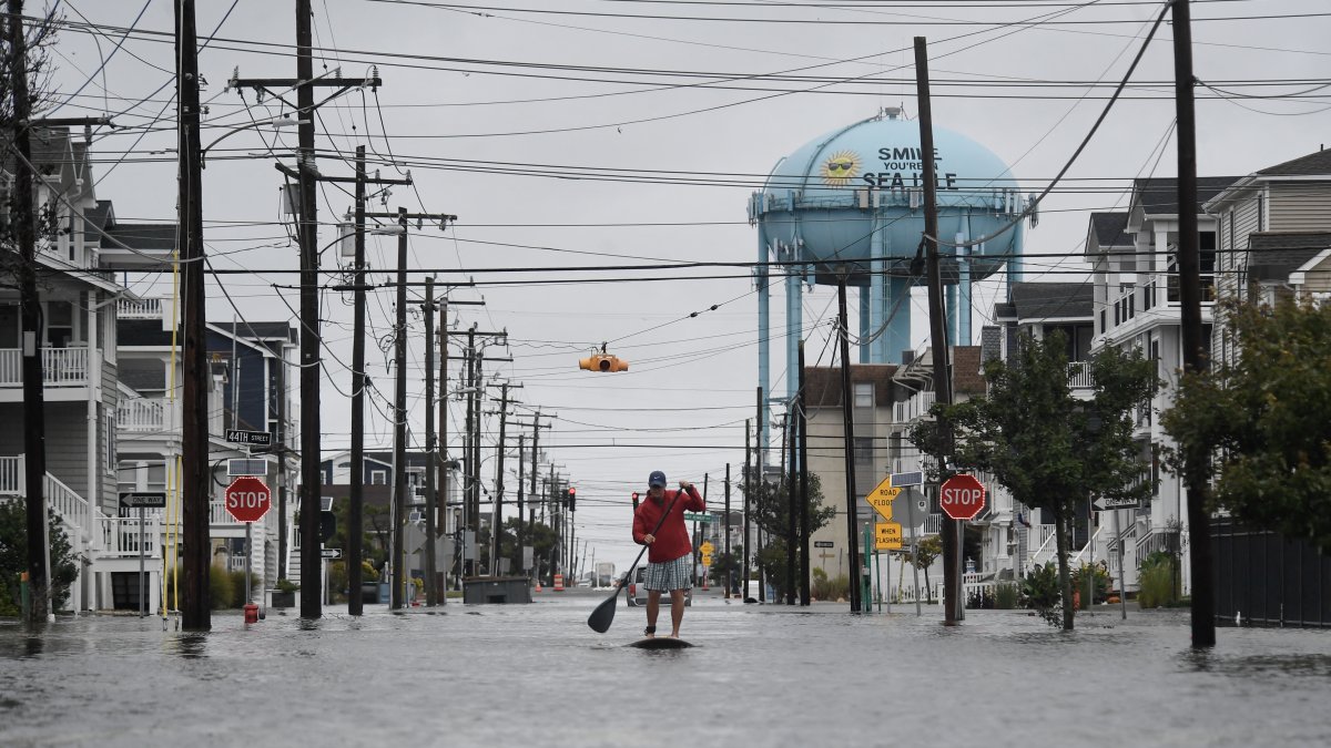
Rainfall Reference Image

The Weather Prediction Center is maintaining the alert for possible flash floods in several regions of the country, especially in the Four Corners area, where heavy rainfall is expected in the early hours of Monday.
A moisture-laden low-pressure system originating in the subtropical Pacific is interacting with an upper-level trough moving inland. This combination is causing a widespread episode of moderate to heavy rain in the Four Corners region.
The WPC has indicated a low risk of flash flooding across a large area of this region, as well as a moderate risk in areas of central Arizona, southwestern Utah, and regions north and east of the Four Corners. The heaviest rainfall is expected to gradually move eastward overnight.
The storm could also bring wet snow in higher-elevation areas, especially in the northern and central Rocky Mountains and the San Juan Mountains. Given these conditions, winter storm warnings and weather advisories have been issued for some areas.
The Great Plains, under threat of strong winds and storms
On Monday, a cyclone is forecast to form and rapidly intensify a cyclone over the northern Great Plains. The system could bring strong winds, showers, and rain, as well as thunderstorms that may develop throughout the day.
In the central and southern Great Plains, thunderstorms are expected Monday afternoon, some of which could produce locally heavy rainfall.
The SPC maintains a low risk of severe thunderstorms in parts of the central and southern Great Plains through Monday and into Monday night.
By Tuesday, a broad cold front will shift the focus of the weather disturbance from the Great Plains to the middle and lower Mississippi River Valley.
Society
Bad weather hits several regions: Heavy rain in Texas and snowfall in the Northwest
Diane Hernández
Florida remains at risk of heavy rain
In Florida, concerns about rainfall also persist. Rain and isolated thunderstorms—fueled by a persistent airflow from the Atlantic and the arrival of weak upper-level troughs from the Gulf Coast—have caused episodes of heavy rainfall in some parts of central and southern Florida's Panhandle this Sunday.
The movement of a high-pressure system from the East Coast will favor the continuation of the maritime flow and maintain the threat of heavy rain in some areas of southern Florida on Monday. There is a possibility of isolated or scattered flash flooding.
In contrast, the same high-pressure system will maintain dry conditions across much of the eastern United States. colder-than-normal temperatures in New England and warmer-than-normal conditions further south.
The forecast covers the period from 00Z on Monday, November 2, 2026, and 00Z on Wednesday, November 4, 2026.
🛠 Do you think there is an error in this article?
Recommendations







LATEST