







Tropical Storm Bertha threatens flooding and heavy rain
According to the Weather Prediction Center, by Friday, the tropical moisture associated with Bertha, combined with disturbances in the upper atmosphere and a nearly stationary front, will lead to a new round of slow-moving storms capable of producing locally excessive rainfall and coastal flooding in South Texas.
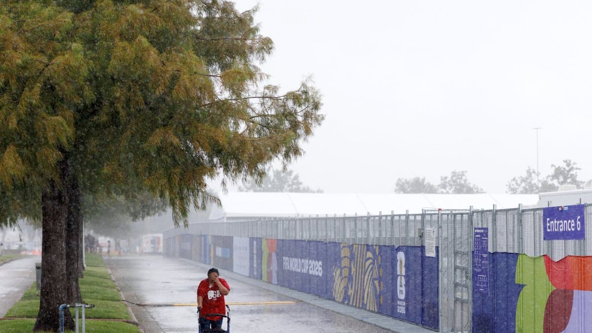

Tropical Storm Bertha will continue moving along the northern coast of the Gulf of Mexico on Thursday, bringing rain to coastal areas of Louisiana and Texas, while authorities are maintaining tropical storm warnings for the coastal waters of Louisiana and the upper Texas Gulf Coast.
According to the Weather Prediction Center, by Friday, the tropical moisture associated with Bertha, combined with disturbances in the upper atmosphere and a nearly stationary front, will favor a new round of slow-moving storms capable of producing locally excessive rainfall and coastal flooding in southern Texas.
The agency also warned of a risk of flash flooding in parts of the southern Mid-Atlantic, the Carolinas, the Tennessee Valley and the Southeast between Thursday and Friday. A cold front will move into those regions and then remain largely stationary, trapping warm tropical moisture that will favor the development of widespread rain and thunderstorms.
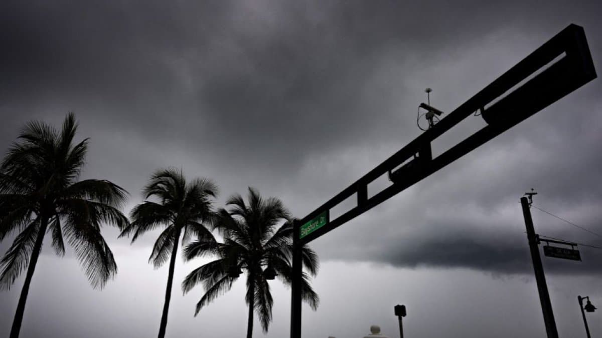
According to the forecast, the combination of an unstable atmosphere and sufficient moisture at mid-levels could produce high precipitation rates and repeated episodes of storms, increasing the risk of flash flooding. The threat of excessive rainfall will continue on Friday due to the stalling of the front and increased atmospheric instability.
Rain and thunderstorms associated with the same frontal system and atmospheric disturbances are also expected in the central and southern Great Plains, with the potential for flash flooding and severe storms. By Friday, the risk will extend into the Central Plains and the middle Mississippi River Valley.
In the western United States, monsoon-like moisture will persist over the Southwest and the Great Basin. Daytime warming and terrain will favor the development of downpours and thunderstorms, with a risk of scattered flash floods. In addition, an atmospheric disturbance will increase the likelihood of severe storms on Friday from North Dakota and South Dakota to parts of Minnesota.
The WPC also warned of a continuing dangerous heat wave in the southern United States, which will begin to spread toward the Great Basin and subsequently to the Northern and Central Plains between Friday and the weekend.
Heat threat
The agency indicated that large areas will remain under "high" to "extreme" heat risk levels, a situation that poses a danger to people without adequate cooling or sufficient hydration.
In contrast, the Pacific Northwest will experience a drop in temperatures as a cold front moves in, while the Midwest, Mid-Atlantic and Northeast will see below-normal temperatures following the passage of the frontal system, with highs ranging from 70 to 80 °F (21 to 28 °C) through Friday.
🛠 Do you think there is an error in this article?
Recommendations








LATEST