Northeast recovers from winter storm as more snowfall expected in Great Lakes region
Emergency services are working to restore roads and utilities following the powerful storm that left more than 3 feet of snow in some areas of the country.
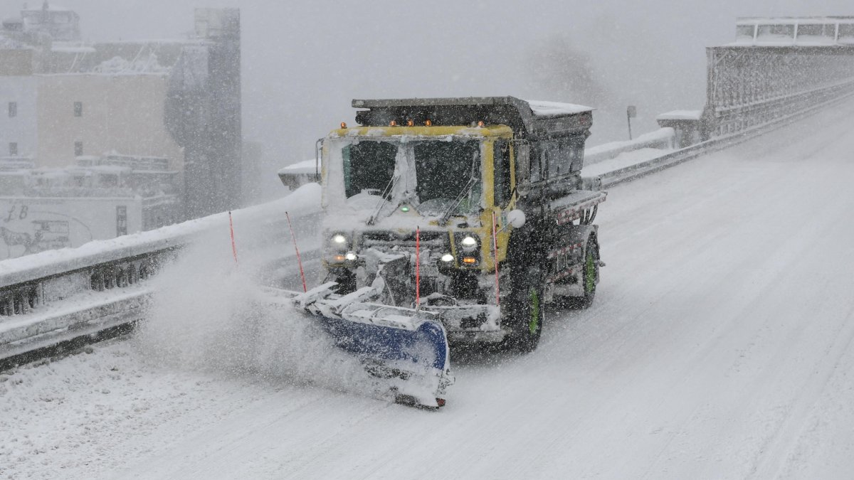
A snowplow on the Brooklyn Bridge

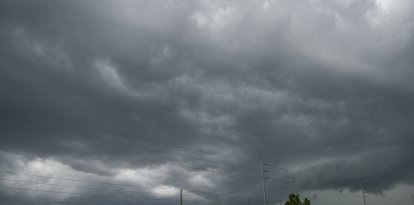
The winter storm that blanketed the eastern part of the country with snow and strong flurries will continue its move toward the Canadian seacoast throughout Tuesday. So, little by little, the nearly 40 million Americans under a high-wind, low-temperature warning may gradually return to normal.
The National Weather Service (NWS) reported that it expected the gusty winds to continue through the morning hours, but would "gradually decrease" throughout the afternoon.
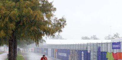
However, the Great Lakes region may indeed face fierce snowfall throughout the day. Although the new strong, cold, gusty storm system will move quickly to the northeast, it will promote snowfall in the region through Wednesday. Specifically, the states for which the NWS issued a Winter Weather Advisory are:
- Michigan
- Minnesota
- New York
- Ohio
- Wisconsin
- North Dakota
Historic snowfall and hurricane force winds
Following the past two days of heavy snowfall, Rhode Island recorded the heaviest snow accumulation in the Northeast. According to preliminary NWS data, T.F. Green Airport recorded 37.9 inches of snow. If verified, it would mark a new state record.
It was followed by Massachussets, which recorded 37 inches in Bliss Corner, and again Rhode Island, with 34 inches recorded in Newport. More than 20 inches were also recorded at points in New York, New Jersey, Connecticut, Pennsylvania and Delaware.
The same states recorded dangerous winds in excess of 40 miles per hour. The most powerful gusts were measured at Montauk Point, N.Y.: 84 miles per hour, speeds akin to that of a Category 1 hurricane.
Also placed within that range were three places in Massachussets (Nantucket, Wellfleet and Barnstable), one more in New York (Stony Brook) and one in Rhode Island (North Kingstown).
A slow and uneven return to normal
Throughout Tuesday, communities across the country began recovery efforts: reopening roads, public transportation and restoring power.
However, by early morning more than 380,000 consumers were still without power. Massachusetts was still the most affected state with more than 253,500 outages recorded by specialized site Poweoutage.us. It was followed by New Jersey, with more than 35,200, and Delaware, with more than 26,700.
Air traffic also suffered delays and cancellations on Tuesday. FlightAware reported more than 9,000 delays and more than 2,000 cancellations. The hardest-hit airport was Boston Logan International Airport, with 273 cancellations. However, the hardest-hit area was New York City, where the three major airports saw more than 760 flights scheduled to take off for the day remain grounded.

Other airports continued service but with intense recovery efforts, such as aircraft taking off from Buffalo Niagara in Cheektowaga, N.Y. "Aircraft departing from Buffalo Niagara International are being sprayed with deicing fluid to remove snow and ice," the Federal Aviation Administration reported Tuesday morning.
Some cities even announced a return to on-site classes. This is the case of New York, where Mayor Zohran Mamdani reported that after Monday's suspension classes would resume on Tuesday. Some districts, however, maintained that school will remain suspended.
"There's going to be low attendance of students, low attendance of staff, because people don't know if they can travel, if they can get to schools," warned, however, United Federation of Teachers President Michael Mulgrew. The union stressed to its members that "no one should jeopardize their safety trying to report to work."
In Philadelphia, remote classes were held Tuesday. In Boston, public schools will remain closed. Boston University and Emerson College also decided to go virtual.
LATEST