Severe thunderstorms threaten flooding and damaging winds to the central and eastern parts of the country
Severe weather uncorked early in the week across parts of the Plains, Midwest and Mid-Atlantic will bring risks of damaging winds, hail and flash flooding, specialists have advised.
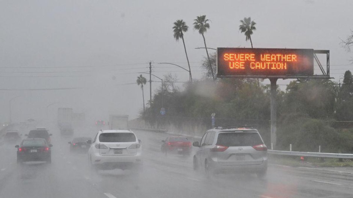
Rains in California (File Image).

Meteorologists at AccuWeather have forecasted rounds of severe thunderstorms with high winds and hailthis week. The adverse weather conditions have raised fears of flooding that will be centered in the central and eastern parts of the country.
Warm, moist air in the central and eastern part of the nation will collide with a boundary of cold air, causing thunderstorms, some of which will become severe, and to which attention should be paid, according to specialists.
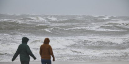
Already, some of this inclement weather lashed parts of the central Plains and Midwest on Sunday, bringing large hail and devastating wind gusts. In addition, at least 5 tornadoes were sighted in that region.
The front responsible for these storms is forecast to move southeastward beginning this Monday, which will divert the focus of the severe weather.
Two severe weather zones
This Monday, there will be two severe weather zones. The first will be concentrated in the Midwest and Mid-Atlantic, from central Missouri to western Virginia and central Pennsylvania, as the cold front moves south and east.
The greatest threats include flooding, heavy rain, hail, and localized damaging wind gusts, all of which will be possible with any thunderstorms Monday afternoon and evening.
The second zone will extend farther west across portions of the Southwest and southern Plains from New Mexico and parts of Colorado into Oklahoma and northern Texas.
A smaller zone will extend along the Red River across far north Texas and southern Oklahoma, where a higher concentration of severe thunderstorms could develop.
Monday afternoon and evening storms could produce flash flooding, hail and damaging winds up to 70 mph.

Society
At least five tornadoes touch down in Minnesota: river flood warning in effect
Diane Hernández
Tuesday's forecast: a dozen states affected
Tuesday's thunderstorms will be concentrated in a dozen eastern states as the cold front moves up the East Coast. Thunderstorms from North Carolina to western Massachusetts and western New Hampshire could be strong or even severe during Tuesday afternoon and evening.
"Flooding, hail and destructive wind gusts will be the primary threats to any severe thunderstorms that are triggered," AccuWeather meteorologist Peyton Simmers said in a statement. "These thunderstorms could slow overnight traffic in portions of the I-95 corridor, including New York, Philadelphia and Washington, D. C.," he added.
The worst storms could be centered in a corridor from southeastern Pennsylvania to northeastern Virginia.
Hurricane for Florida?
Meanwhile, the National Hurricane Center (NHC) warned of the formation of Flossie, the sixth tropical storm of the 2025 eastern Pacific hurricane season, as tropical weather warms in the Atlantic.
All this is occurring as Tropical Storm Barry forms in the Gulf of Mexico and moves toward the east coast of the Aztec country.
LATEST