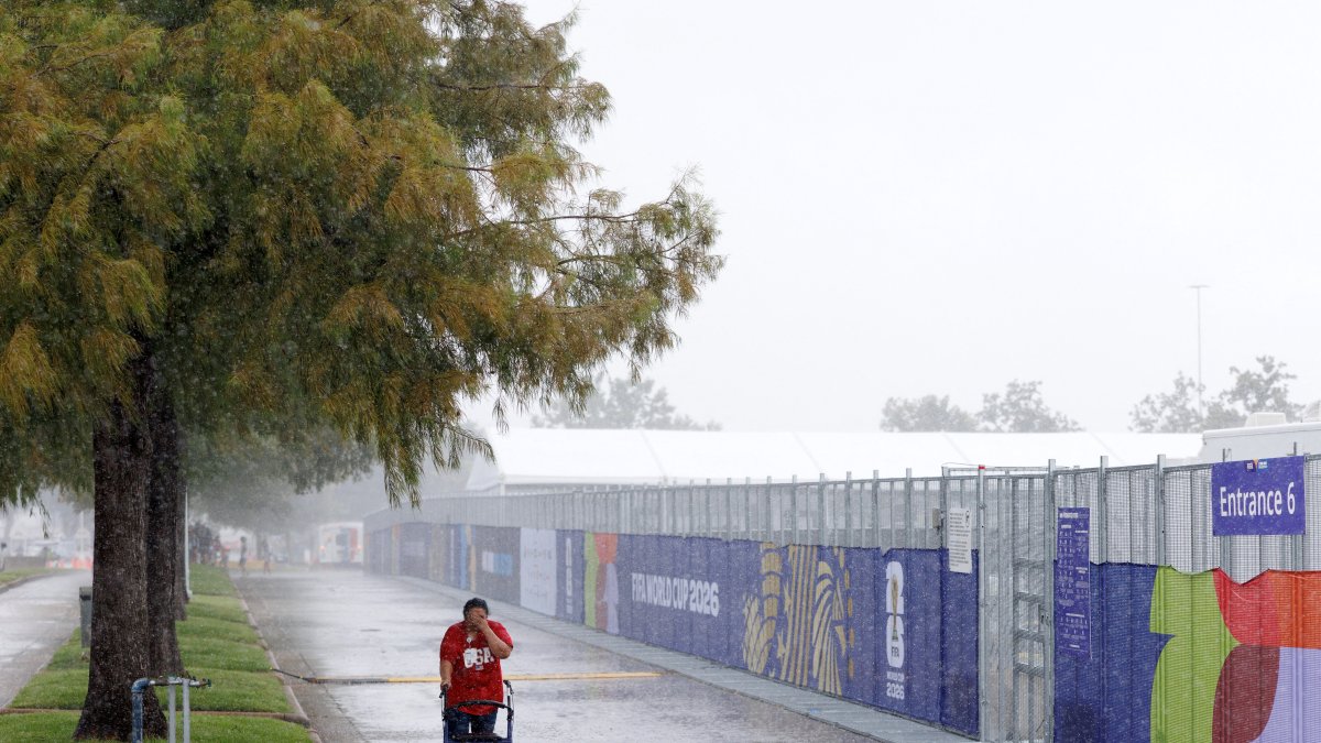







Severe storms threaten South Texas with flash flooding while the rest of the country braces for a heat wave
While South Texas braces for possible flash floods, the Northwest is facing persistent rain and snow in the mountains and the rest of the U.S. is enjoying a rise in temperatures to start the week.
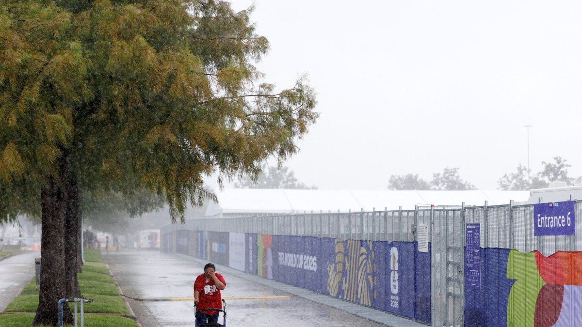
Rain in Texas

The National Weather Service (NWS) has issued a moderate risk advisory for excessive rainfall for eastern southern Texas this Monday, with scattered thunderstorms forecast that could cause flash flooding due to several inches of accumulated rainfall.
Meanwhile, a series of storm systems from the Pacific will bring moderate rain and snow at higher elevations in the northwest of the country, and a warming trend will spread across much of the United States following one last cold night in the Southeast.
Texas: Risk of flash flooding
A low-pressure system in the upper atmosphere interacting with unusually moist air from the Gulf of Mexico will bring another day of scattered to widespread thunderstorms to southern and south-central Texas. The Weather Prediction Center (WPC) of the NWS maintains a moderate risk of excessive rainfall (Level 2 of 4) for the eastern portion of South Texas today.
Locally very heavy rainfall could accumulate several inches of rain and cause isolated instances of flash flooding, especially in urban areas and areas with poor drainage. The risk will decrease toward the evening, but local authorities recommend that drivers and residents in low-lying areas prone to flooding exercise caution.
Pacific Northwest: Rain and snow at higher elevations
A series of storm systems originating in the Pacific will bring periods of moderate rain and some snow at high elevations in the northwest over the next few days. The most widespread and intense precipitation is expected Monday afternoon through Monday evening.
These rapidly moving low-pressure systems will also bring several rounds of scattered showers to parts of the Great Lakes and the inland Northeast. The first round of rain will pass through today, followed by a second round between Tuesday night and Wednesday morning. The rest of the country should remain mostly dry during this period.
Widespread warming after one last cold night
Another cold night is expected in the valleys of Tennessee and parts of the Southeast, where frost advisories remain in effect this morning for some areas. However, a pattern of mild to unusually warm air will dominate the rest of the country as the new workweek begins.
High temperatures will generally be in the 50s and 60s Fahrenheit in the northern part of the country, in the 60s and 70s in the south and will reach the 80s in Southern California, the desert Southwest and Florida. Temperatures will remain relatively cool in South Texas and parts of the Four Corners today and Tuesday, where clouds and precipitation will persist, with highs in the 60s and even some in the 50s before a warming trend sets in.
An active weather pattern at both ends of the country
Local authorities in Texas recommend that residents avoid driving through flooded areas and to stay tuned for updates from the NWS, while in the northwest, caution is advised on mountain roads due to possible snow accumulation. The WPC forecast, valid through noon on Wednesday, Nov. 11, will be updated as weather systems evolve.
🛠 Do you think there is an error in this article?
Recommendations



LATEST