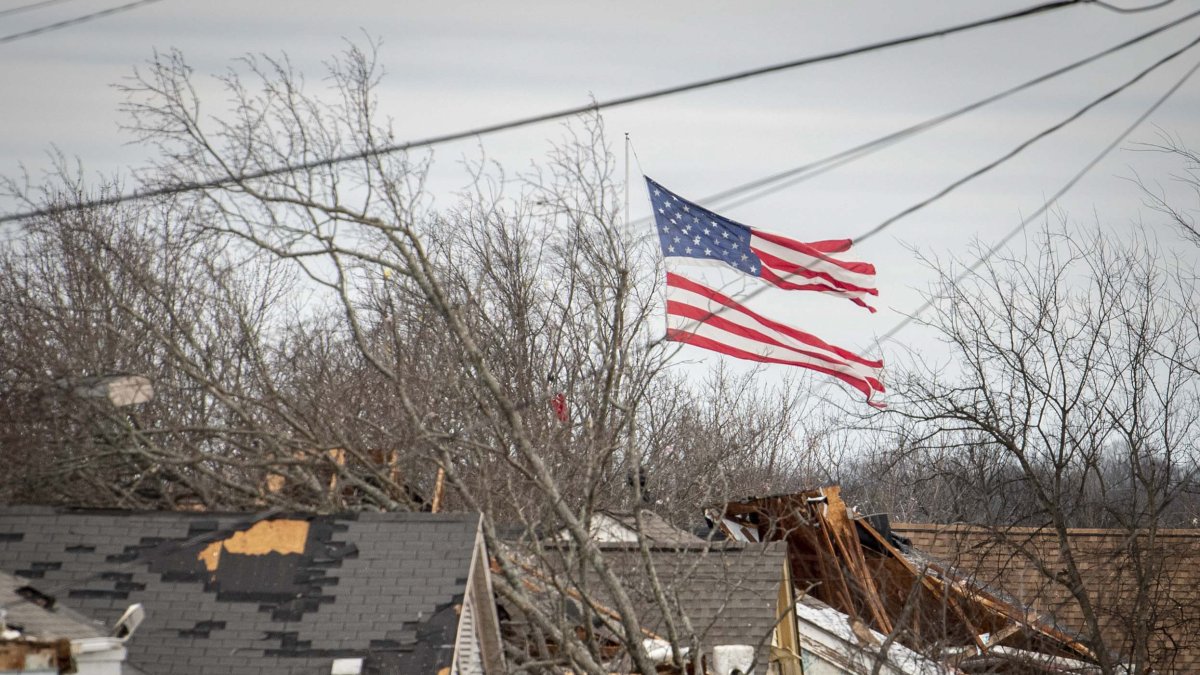
Severe storms in central and eastern parts of the country, with ‘hail the size of golf balls’
Severe weather is expected starting Sunday.

File image of a storm in the US
Severe thunderstorms are expected this Sunday and Monday in the central part of the country, with the potential for tornadoes, large hail and damaging winds, according to the weather forecast.
Approximately 170 million people from Illinois to East Texas, and perhaps a little beyond, could be affected over the next two days as abnormally warm air collides with a powerful cold front, developing a volatile weather system.
The month of March has seen a large number of tornadoes, surpassing the number for the same period last year. Some of the same regions hit by deadly storms earlier this month could again be at risk.
">Widespread severe thunderstorms are expected today (3/30), with a level 3 of 5 risk area extending from the ArkLaTex into the Ohio Valley. Swaths of damaging gusts, very large hail (some greater than 2.5 inch diameter), and several tornadoes (a few may be strong) are expected. pic.twitter.com/fVGyy4Acgx
— NWS Storm Prediction Center (@NWSSPC) March 30, 2025
Nashville, Indianapolis and St. Louis: Cities that could be affected by storms
More than 25 million people are under a level 3 out of 5 risk of severe thunderstorms on Sunday, according to the Storm Prediction Center.
"Swaths of damaging flurries, large hail (some larger than 6.35 cm in diameter) and several tornadoes (some could be strong) are expected," the center clarified on its X profile.
Nashville, Indianapolis and St. Louis are just a few of the major cities included in this wide-ranging risk alert. Another 45 million people are under a risk level 2 of 5 in surrounding areas, such as Dallas, Chicago and Cleveland.


