Weather alert: Rain, flooding and storms affect several regions
A nor'easter continues to affect the northeastern part of the country, while the National Weather Service warns of a high risk of excessive rainfall in the Southwest. Hawaii remains on alert for Hurricane Nolo, which is moving south of the archipelago.
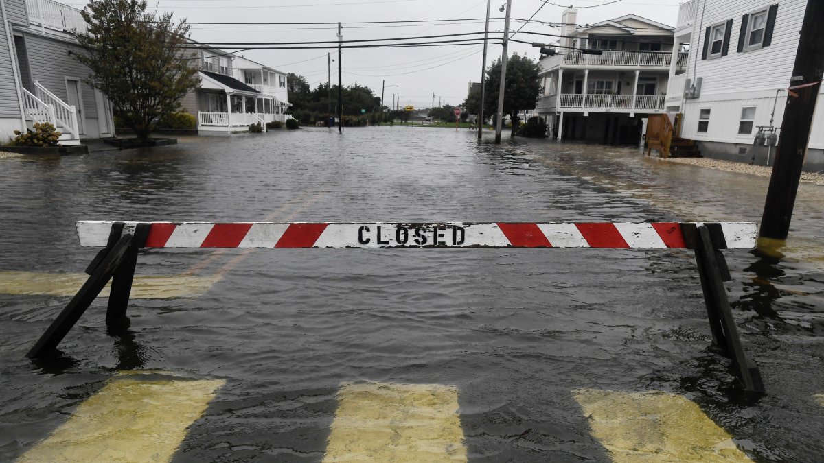
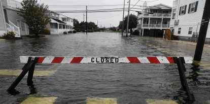
A road is closed following heavy rain and flooding in Ocean City, New Jersey

The country begins this Monday, September 28, with several areas of adverse weather, ranging from heavy rain and the risk of flash flooding in the Southwest to the lingering effects of a nor'easter in New England, while Hurricane Nolo continues to move south of Hawaii, according to the official forecasts from the National Oceanic and Atmospheric Administration (NOAA).
The Weather Prediction Center (WPC) of the National Weather Service maintains a moderate risk of excessive rainfall for this Monday in parts of the Southwest and the Four Corners region, a category 3 out of 4 on its risk scale.
Meteorologists forecast widespread rainfall totals of 1 to 3 inches—approximately 25 to 76 millimeters—in parts of the region, where some soils are already saturated from previous rainfall. The agency warns of an increased risk of flash flooding, particularly in mountainous areas, fire-scorched terrain, and vulnerable areas of Arizona, New Mexico, Colorado, and Utah.
Part of this moisture is linked to tropical systems in the Pacific, including Polo and Odalys, whose moisture is being drawn inland toward the western United States.

Society
Greener doesn't always mean more water: Global greening weakens link between carbon and moisture
Carlos Dominguez
A nor'easter is still affecting the Northeast
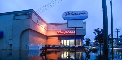
On the other side of the country, a nor'easter that hit the nation's Northeast over the weekend continues to bring rain, wind and dangerous coastal conditions on Monday.
The WPC forecasts that precipitation associated with the system will affect areas from southern New England to parts of the northern Mid-Atlantic, although the storm will gradually begin to move away toward Canada's Maritime Provinces.
Weather authorities have also warned of possible coastal flooding, beach erosion, strong rip currents, and wind gusts, particularly along parts of the New England coast.
The risk of excessive rainfall in this region has decreased compared to previous days as the system loses intensity.
Hawaii remains on alert for Hurricane Nolo
Meanwhile, in the central Pacific, authorities are closely monitoring Hurricane Nolo, which on Sunday was located several hundred miles south-southwest of the main Hawaiian Islands.
Although the hurricane's center remains south of the islands, the Weather Prediction Center has warned that the system could bring very heavy rain, a risk of dangerous flooding, and landslides, especially in the eastern and southern parts of the Big Island.
The Pacific also remains particularly active: meteorological authorities are monitoring other tropical systems, including Polo and a tropical depression southwest of Mexico.
Texas: Heat and air quality issues
In Texas, temperatures remain high in several areas. The National Weather Service office in Houston reported an Ozone Action Day for Monday in the Houston, Galveston, and Brazoria areas, where air quality could reach levels considered harmful to sensitive groups.
In parts of Louisiana and southeastern Texas, high temperatures will remain around 90 °F, though with lower humidity levels before the chance of rain increases again midweek.
The national outlook thus points to a day marked primarily by rain and flooding in the West and Northeast, while meteorologists are keeping a close watch on tropical activity in the Pacific.
LATEST