Powerful coastal storm to hit East Coast this weekend with wind, flooding and heavy rain; flash flood risk in Southwest, wet snow in Northwest
NOAA forecasts a coastal storm off the coast of New England from Friday through Sunday, with wind gusts exceeding 45 mph and flooding, as well as rain in the Southwest, the Plains, and the Pacific Northwest.
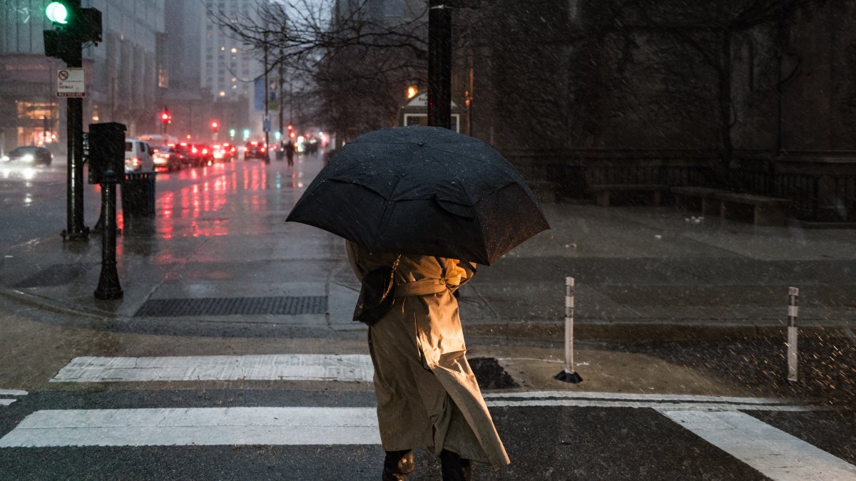
Illustrative image of rain in NYC

NOAA's National Weather Prediction Center (WPC) warns that a deep coastal storm will form off the U.S. East Coast over the next 48 hours and will bring strong winds, coastal flooding, storm surge, and heavy rain from Friday through Sunday.
Storm development and forecasted track
An upper-level trough that is deepening toward the eastern part of the country will interact with a mass of cold air moving toward the western Atlantic, giving rise to a deep coastal cyclone directly off the East Coast.
A high-pressure system will feed this cold air over the still-warm waters of the western Atlantic, which will intensify the storm and generate widespread gale-force winds along the coast over the next few days.
Models agree that the center of the storm will approach and then stall off the southeast coast of New England starting this Friday and through the weekend, although "considerable uncertainty" remains regarding its exact path.
What to expect on the East Coast: Wind, rain, and coastal risks
Much of Friday is likely to remain rain-free along the East Coast, but cold, damp northeasterly winds will continue to strengthen as the storm deepens offshore.
Sustained rain is expected to begin Friday night in southeastern New England and gradually spread westward, reaching southern New England by Saturday morning.
The WPC forecasts:
- Wind gusts exceeding 45 mph (about 72 km/h).
- Moderate to significant coastal flooding.
- High waves, dangerous rip currents, and beach erosion.
The center recommends consulting the updated "Key Messages" for this system on the WPC website.
West and Great Plains: Risk of flash floods
Meanwhile, monsoon moisture in the Four Corners region will be elevated by an upper-level trough moving into Baja California, creating a moderate risk of flash flooding in central-south of New Mexico and a slight risk in the southern Rockies and the southern Great Plains overnight Thursday.
The moisture band will gradually shift eastward along with the trough, allowing the threat of torrential rain to subside on Friday in the southern Rockies and the southern Great Plains.
However, a slight risk of excessive rainfall remains in southeastern New Mexico, where the ground is already saturated from previous rains.
From Friday through Saturday morning, moderate and locally heavy rain is expected to develop and move erratically across the Central Plains, toward Iowa and Missouri, ahead of a low-pressure trough and a stationary front.
Pacific Northwest: Rain and possible wet snow at higher elevations
A strong short-wave trough originating in the Pacific will deepen as it moves into the Pacific Northwest throughout Thursday.
The dynamics associated with this system will bring widespread showers to Washington and Oregon, which will reach the coast later today and extend inland across the Pacific Northwest on Friday.
With the arrival of colder air, wet snow could fall at higher elevations in the northern Rockies and the Cascades.
LATEST