Hurricane Polo hits Mexico hard; its northern neighbor braces for rain and flooding
The storm made landfall in Baja California Sur with strong winds and a risk of flooding. In the United States, the National Weather Service is warning of a potentially dangerous episode of torrential rain stretching from the Southwest to Texas and the Great Plains.
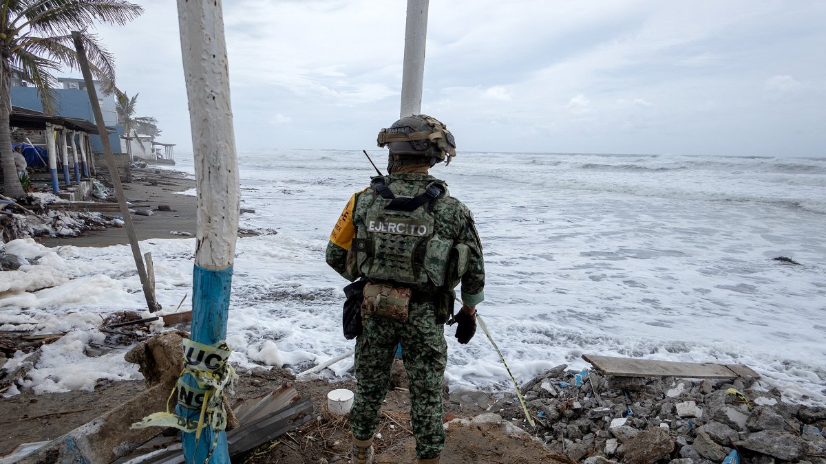
A Mexican Army soldier on the coast during the emergency caused by Hurricane Polo

Hurricane Polo made landfall in Mexico early Tuesday morning, bringing strong winds, power outages, and the risk of severe flooding in Baja California Sur, while its remnants threaten to fuel a spell of heavy rain across large parts of the southern and southwestern United States.
According to AFP, Polo reached the Mexican coast near the boundary between Categories 2 and 3 on the Saffir-Simpson scale. The agency reported from Puerto San Carlos that gusts bent palm trees, cut off power, and caused a storm surge that breached several sections of a sand barrier intended to protect the town.
Mexican authorities had set up shelters and deployed nearly 7,000 military personnel in Baja California Sur, in addition to suspending classes, in-person work for public employees, maritime activities, and access to beaches, according to AFP.
The National Hurricane Center (NHC) had warned prior to the system's arrival of potentially life-threatening winds and flash floods in parts of Baja California Sur and Sonora. Polo had previously reached Category 5 strength as it moved across the Pacific before weakening as it approached land.
The impact extends northward
The danger associated with the cyclone does not end in Mexico. The Weather Prediction Center (WPC), part of the U.S. National Oceanic and Atmospheric Administration (NOAA), anticipates that the remnants of Polo's energy and moisture will move toward U.S. territory and merge with another atmospheric system.
The agency maintains a moderate risk of excessive rainfall for parts of the Southwest and the southern Great Plains, with the possibility of significant flash flooding. The center of the remnant system is expected to move from Mexico toward the El Paso area and the New Mexico-Texas border, and then continue northward.
The official forecast warns of a multi-day episode of potentially life-threatening flash floods stretching from the southwestern United States to the southern Great Plains, before the threat of heavy rain moves toward north-central Texas, the Central Plains, and the Upper Midwest.
Among the areas under closest watch are parts of Arizona, New Mexico, Colorado, Texas, Oklahoma, and Kansas, where already saturated soil may increase the risk of flooding.

Heat in Texas and unusually high temperatures in the east
This outlook coincides with a fall shaped by a strong episode of El Niño. NOAA has noted that this weather pattern could significantly alter the distribution of temperatures and precipitation across the United States over the coming months. In parts of the Southeast, for example, meteorologists anticipate a higher likelihood of rain this fall due to additional moisture from the Pacific.
Meanwhile, in the eastern Pacific, meteorologists are also monitoring the development of other tropical systems. Along with Polo, the NHC was monitoring Tropical Storm Rachel and other active cyclones in the basin during a particularly active phase of the season.
LATEST