The week begins with rain and flood warnings as the threat of a 'Super El Niño' grows
The remnants of Hurricanes Rachel and Isaias continue to pose a flood risk in various regions of the United States. NOAA warns that El Niño continues to strengthen and could reach exceptional intensity in the coming months.
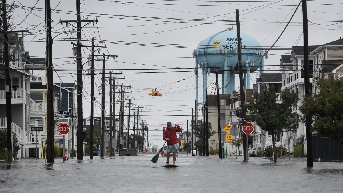
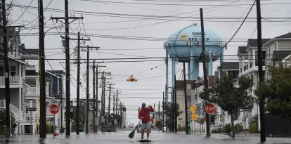
A flooded street after heavy rains in Sea Isle City, New Jersey (File photo)

The country faces a week of adverse weather conditions, with heavy rains, flooding and sudden temperature changes, while scientists warn of the strengthening of El Niño, a climate phenomenon that could alter precipitation and temperatures on a global scale.
According to forecasts updated on Monday, Oct. 12, by the National Weather Service (NWS), the main threats are concentrated in the southwest, the central region and some eastern parts of the country, following the passage of several tropical systems.
Rachel and Isaias leave damage and risk of further flooding
In California, the remnants of the Tropical Storm Rachel caused heavy rains, dangerous waves and damage to coastal homes. In Long Beach, at least eight properties were declared unsafe, while Newport Beach declared a local emergency due to flooding.
The National Hurricane Center (NHC) confirmed that Rachel had lost its tropical characteristics, although the moisture associated with the system continues to fuel rainfall in the U.S. Southwest.
Meanwhile, Isaias, which made landfall in Florida as a Category 2 hurricane, left at least four people dead in Florida and Alabama, according to the Associated Press. Its remnants moved toward the Appalachians and the Mid-Atlantic region, where authorities are monitoring possible river rises and flash floods.
Forecasts also call for storms in the Great Plains, while Texas could experience a significant drop in temperatures toward the end of the week, following several days of heat and humidity.
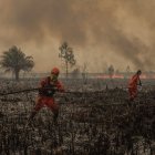
NOAA warns of a possible El Niño of historic intensity
The abnormal warming of the waters in the equatorial Pacific could alter rainfall patterns, contribute to droughts in some regions, and increase the risk of flooding in others, with potential consequences for agricultural production and food prices.
The phenomenon is also the subject of an analysis published Monday by Bloomberg, which examines the risks of a potential "super El Niño" to the climate and global food security.
However, experts caution that the intensity of the phenomenon does not guarantee that all extreme weather events will occur, nor does it allow every storm to be automatically attributed to it.
For the coming days, U.S. authorities are monitoring rainfall in the central and southwestern parts of the country, as well as temperature trends and storm systems that could affect several states.
LATEST