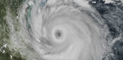
Isaias is moving toward Alabama, posing a risk of flash flooding and strong winds
The storm was moving northward at about 20 mph (31 km/h). According to the forecast, it will maintain this path through Saturday before turning north-northeast or northeast on Sunday. It is expected to cross Alabama and reach the Tennessee Valley between Saturday and Sunday.
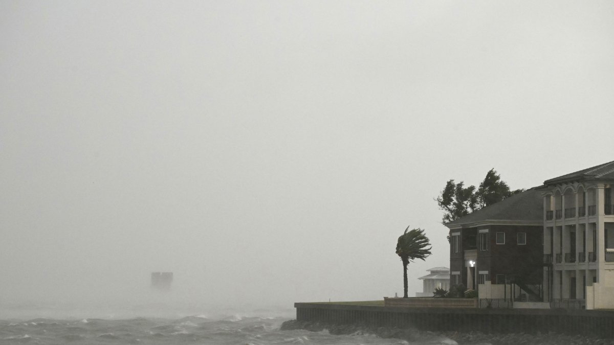
A house damaged by Hurricane Isaias in Pensacola, Florida / RONALDO SCHEMIDT

Post-tropical cyclone Isaias was moving over southern Alabama early Saturday morning, with sustained winds of up to 65 mph (100 km/h), while the threat of flash flooding and strong winds extended inland, the National Hurricane Center (NHC) reported.
In its 1 a.m. CDT (6 a.m. GMT) bulletin, the NHC placed the center of Isaias near 31.5 degrees north latitude and 86.5 degrees west longitude, approximately 80 miles (130 kilometers) northeast of Pensacola, Florida, and 55 miles (90 kilometers) southwest of Montgomery, Alabama.
The system was moving northward at about 20 mph (31 km/h). According to the forecast, it would maintain this track through Saturday before turning north-northeast or northeast on Sunday. It is expected to cross Alabama and reach the Tennessee Valley between Saturday and Sunday.
Although its maximum sustained winds had decreased to 65 mph (100 km/h), the agency warned that Isaias will continue to produce strong gusts inland. It is forecast to continue weakening, with winds falling below gale force on Saturday.
Storm surge and tropical storm warnings
The NHC reported changes to the current advisories. The storm surge warning west of the county line between Santa Rosa and Okaloosa counties in Florida was canceled. The hurricane warning west of the border between Alabama and Florida was also lifted.
Likewise, the hurricane warning from east of that border to the boundary between Bay and Gulf counties in Florida was replaced by a tropical storm warning.
At 1 a.m. CDT, a storm surge warning remained in effect from the county line between Santa Rosa and Okaloosa counties to the Suwannee River in Florida. A tropical storm warning also remained in effect from the Alabama-Florida border to the Aucilla River in Florida.
The agency warned that the combination of storm surge and tides could flood normally dry coastal areas. Water levels of 2 to 4 feet (0.6 to 1.2 meters) above ground level are expected at some points along the stretch between the Santa Rosa-Okaloosa county line and the Suwannee River if the peak storm surge coincides with high tide.
Rainfall of up to 15 inches and risk of tornadoes
In some areas, especially along the rain bands crossing the Panhandle and Big Bend, total rainfall could reach 15 inches (381 millimeters).
Across much of the rest of the Southeast, between 2 and 5 inches (51 and 127 millimeters) are forecast, though some areas could see up to 10 inches (254 millimeters), especially in the Southern Appalachians and the coastal areas of the Carolinas.
The NHC warned of the possibility of flash, urban and river flooding in the region, with significant impacts across large areas of southern Alabama, the Florida Panhandle and southwestern Georgia. There is also a risk of significant flash flooding and landslides in the Southern Appalachians.
In addition, the risk of tornadoes will persist through the early morning hours in the Florida Panhandle and northern Florida, as well as in southern Georgia. The threat will continue through Saturday in parts of the Florida Panhandle, Georgia and the Carolinas.
Finally, the agency noted that the swells generated by Isaias are affecting much of the Gulf Coast of the United States, Mexico and western Cuba, and warned of dangerous wave and rip current conditions that could be life-threatening.
LATEST