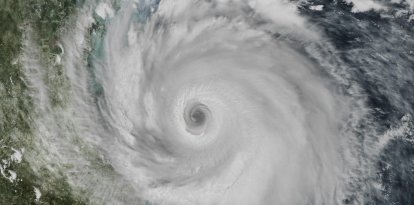
Hurricane Isaias is approaching the Gulf Coast as a dangerous Category 2 hurricane
Isaias will approach the coast during the day and is expected to make landfall between Friday night and early Saturday morning within the area under a storm warning, stretching from Ocean Springs, Mississippi, to the border of Bay and Gulf counties in Florida, including the Alabama coast.
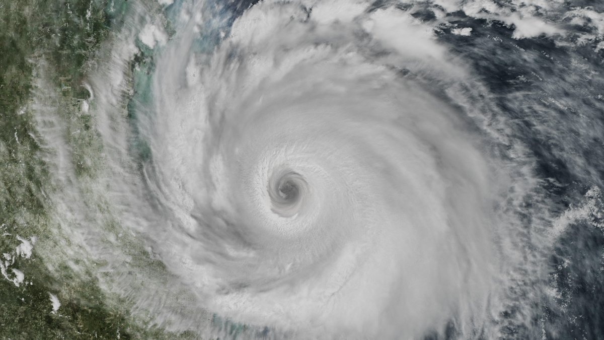
Photograph of a hurricane taken by NASA—File Photo

Hurricane Isaias, the first of the 2026 Atlantic hurricane season, is approaching the northern Gulf Coast of the United States. It is expected to make landfall between Friday night, October 9, and early Saturday morning, October 10.
Current situation and trajectory
Isaias is moving north-northeast at 14 miles per hour and is expected to turn further north on Friday. It will approach the coast during the day and is expected to make landfall between Friday night and early Saturday morning within the area under a storm warning, from Ocean Springs, Mississippi, to the border of Bay and Gulf counties in Florida, including the Alabama coast. Aircraft from the NOAA and the Air Force are flying into the storm to assess it.
The forecast uncertainty cone covers southern Alabama and the Florida Panhandle. The worst impact—wind, storm surge, and rain—is expected east of the storm's center.
Current advisories and warnings
- Storm surge advisory: From the mouth of the Mississippi River to the Suwannee River, Florida. This is a life-threatening situation; those in these areas should follow evacuation instructions from local authorities.
- Hurricane watch: From Ocean Springs, Mississippi, to the line between Bay and Gulf counties, Florida, including the entire Alabama coast. Hurricane conditions are expected within the next 24–36 hours.
- Tropical storm watch: From the line between Jefferson and Plaquemines parishes in Louisiana to west of Ocean Springs in Mississippi, and from east of the boundary between Bay and Gulf counties to the Aucilla River in Florida.
Major hazards from Hurricane Isaias
Storm surge: Hurricane Isaias is bringing a dangerous, potentially life-threatening storm surge along the entire Gulf Coast. In the most critical stretch, from Dauphin Island, Alabama, to Indian Pass, Florida, the water could reach 5 to 7 feet.
In other areas along the Alabama coast, the Florida Panhandle, and the Mississippi Delta, the storm surge ranges from 3 to 6 feet. Further inland, toward Yankeetown, Florida, or Lake Pontchartrain, Louisiana, the water may rise 1 to 4 feet.
Winds: The strongest, hurricane-force winds will be concentrated in the Florida Panhandle, southern Alabama, and southern Mississippi. They can knock down trees, damage roofs, and cause power outages lasting several days. These winds extend up to about 25 miles from the hurricane's center. Tropical storm-force winds extend up to about 125 miles and may also be felt inland, in northern Alabama and parts of Georgia.
Heavy rain: Heavy rain will fall from Friday through the weekend over southern Alabama, the Florida Panhandle, and southwestern Georgia: 4 to 8 inches, with some areas potentially receiving up to 15 inches.
Street and road flooding is expected, and rivers are likely to rise. Along the Carolina coast, 3 to 5 inches of rain are expected, with peaks of up to 8 inches.
Tornadoes: There is also a risk of tornadoes from Friday night through Saturday along the Alabama coast, the Florida Panhandle, and southwestern Georgia. High waves, which are already affecting the Yucatan Peninsula, will reach the Gulf Coast on Friday, bringing very dangerous rip currents
Preparations and evacuations
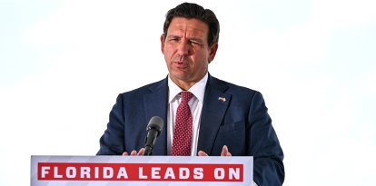
- Florida: Governor Ron DeSantis declared a state of emergency for 25 counties. Mandatory evacuations are in effect in parts of Okaloosa and Walton counties, and voluntary evacuations are in effect in coastal areas of Alabama.
- Alabama: Governor Kay Ivey declared a state of emergency for 40 counties and activated the National Guard.
- Georgia: Governor Brian Kemp also declared a state of emergency.
- Oil industry: Shell and BP are evacuating non-essential personnel from platforms in the Gulf and reducing production.
LATEST